September 5 Watershed Council Meeting Agenda
Here is the agenda for the Thursday, September 5, 2013 meeting of the Watershed Council.
Our special guest will be Tully Clifford, director of the Ventura County Watershed Protection District, who will provide the group with a presentation covering the District’s priorities and how these can best integrate with and be supported by our watershed management plan. Following Tully’s presentation, there will be time to ask questions and discuss concerns.
At this meeting, we will also talk about our strategy for evaluating and prioritizing projects and programs in our watershed management plan into a Short Term Action Plan. I’ll be sending out more background information on that next week.
The meeting will run from 9:00 am to 12:00 pm, and will be in the Topping Room of the Foster Library, 651 E. Main Street.
Hope to see you there!
Contours and Mountains Map
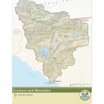
A new addition to our Watershed Atlas is a Contours and Mountains map. This map is really meant to be looked at on a computer where you can zoom in and see the fine-scale detail of the contour lines. This map is unique in that has all of our key mountain ranges and mountains are labeled, as well as our mountain peaks and their elevations.
Call for Photos – Wet and Dry
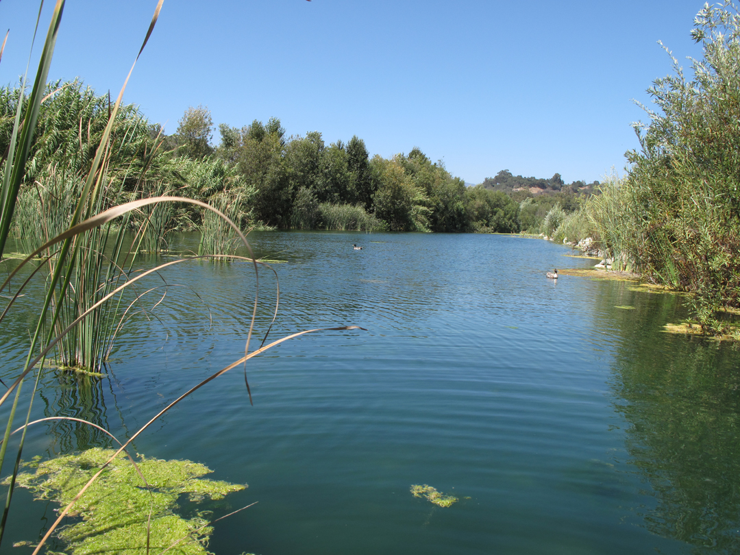
Ventura River in front of the Casitas Springs trailer park. (August 2013)
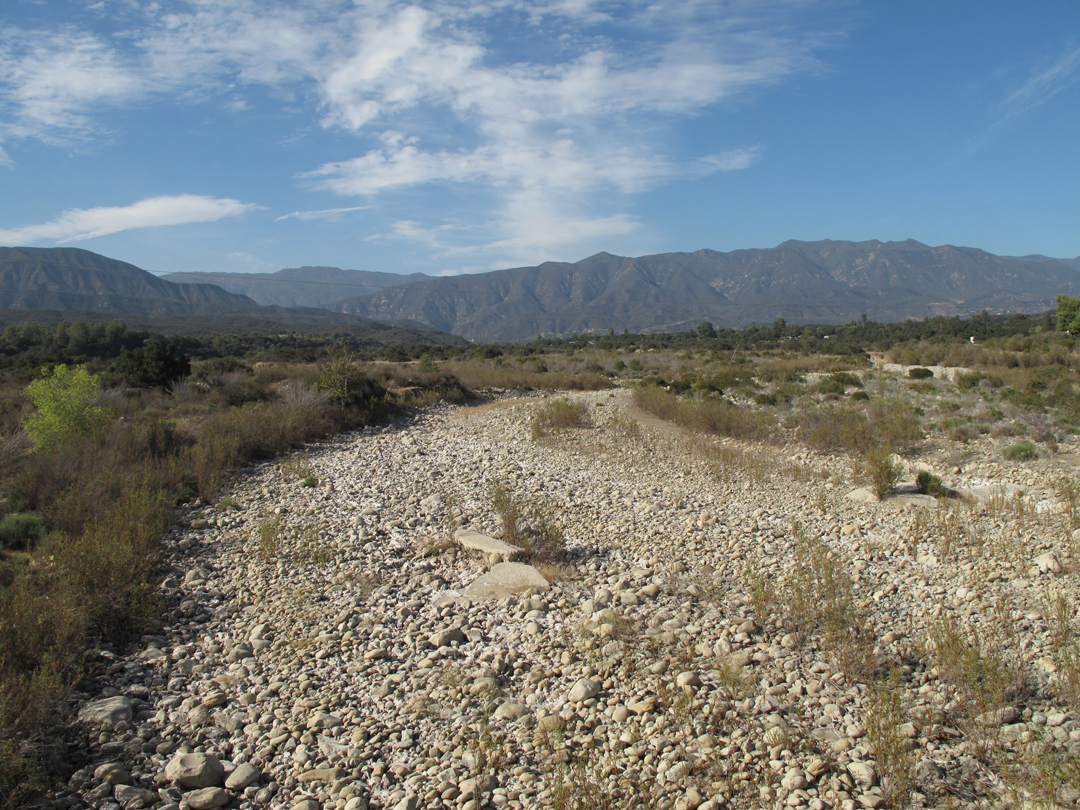
Ventura River at the Hwy. 150 Bridge. (August 2013)
A picture tells a thousand words, and we want to take advantage of that to try to convey, in the watershed management plan, the extreme variability of our special watershed. We’ve been out gathering photos to illustrate how things look after two dry winters. And we’ve been collecting photos from past flood events. If you have any photos you’d like to share of the river or any of its tributaries flowing strong during or after major storms, I’d appreciate receiving copies. As well as any other neat photos you want to share. Thanks!