Home
Network
Mission & Priorities
VRWC Charter – Updated 2025
Participants
Kumu Map
Leadership Committee Profiles
Our Staff
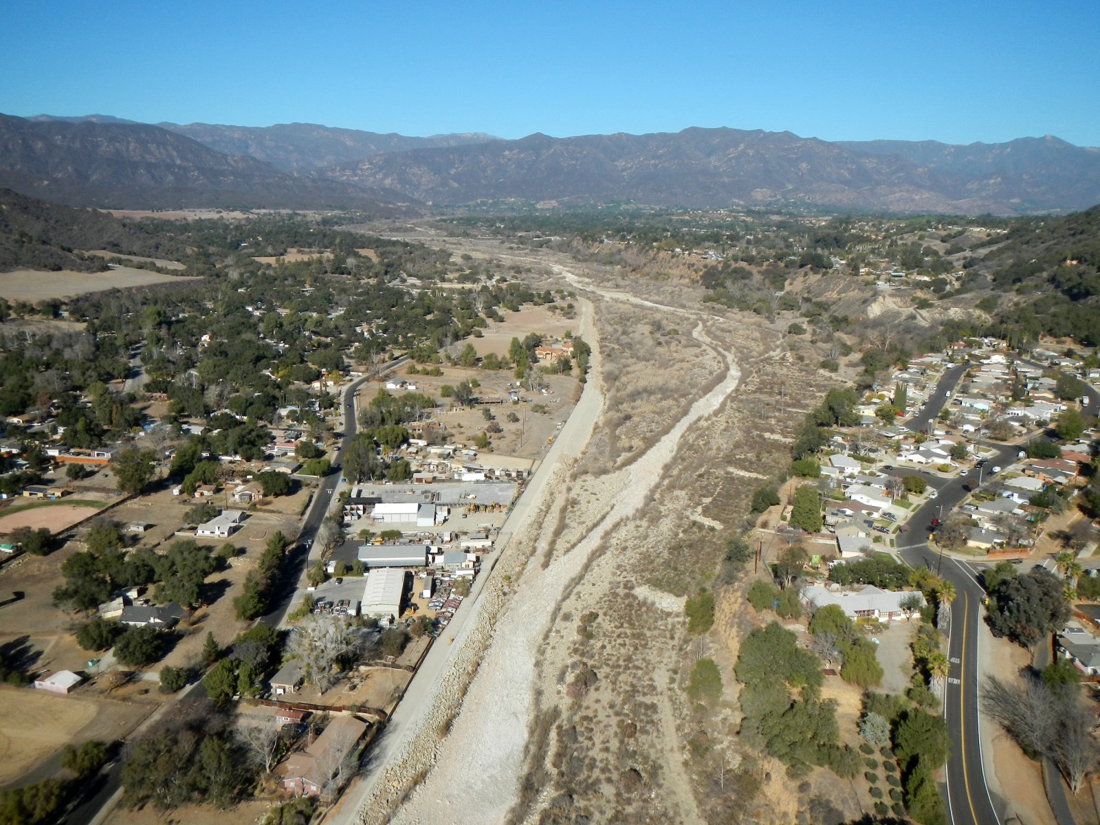
Our Watershed
Plans
Management Plan
Ventura River Watershed Resilience Plan
Map Atlas
Sustainable Groundwater Management Act
Documents, Data, and Media
Data
Lake Casitas Storage
Upper Ventura River Groundwater Levels
Current Streamflow
FEMA Flood Maps
Historical Rainfall & Streamflow Data
Watershed Documents
Media
Council Brochure
Resources
Council Meetings
Upcoming Council Meetings
Past Council Meetings & Presentations
Contact Us
Home
Network
Mission & Priorities
VRWC Charter – Updated 2025
Participants
Kumu Map
Leadership Committee Profiles
Our Staff
Our Watershed
Plans
Management Plan
Ventura River Watershed Resilience Plan
Map Atlas
Sustainable Groundwater Management Act
Documents, Data, and Media
Data
Lake Casitas Storage
Upper Ventura River Groundwater Levels
Current Streamflow
FEMA Flood Maps
Historical Rainfall & Streamflow Data
Watershed Documents
Media
Council Brochure
Resources
Council Meetings
Upcoming Council Meetings
Past Council Meetings & Presentations
Contact Us
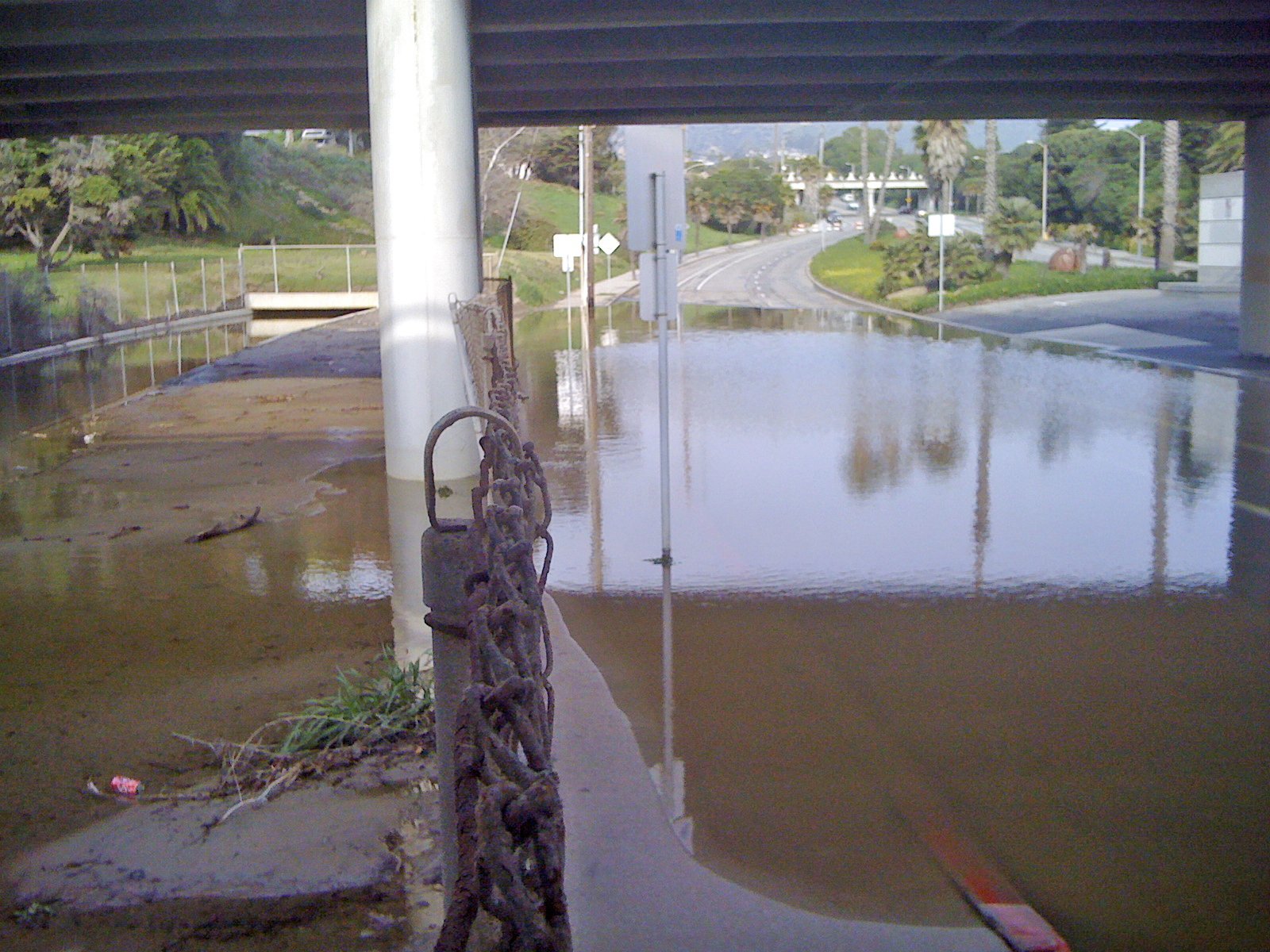
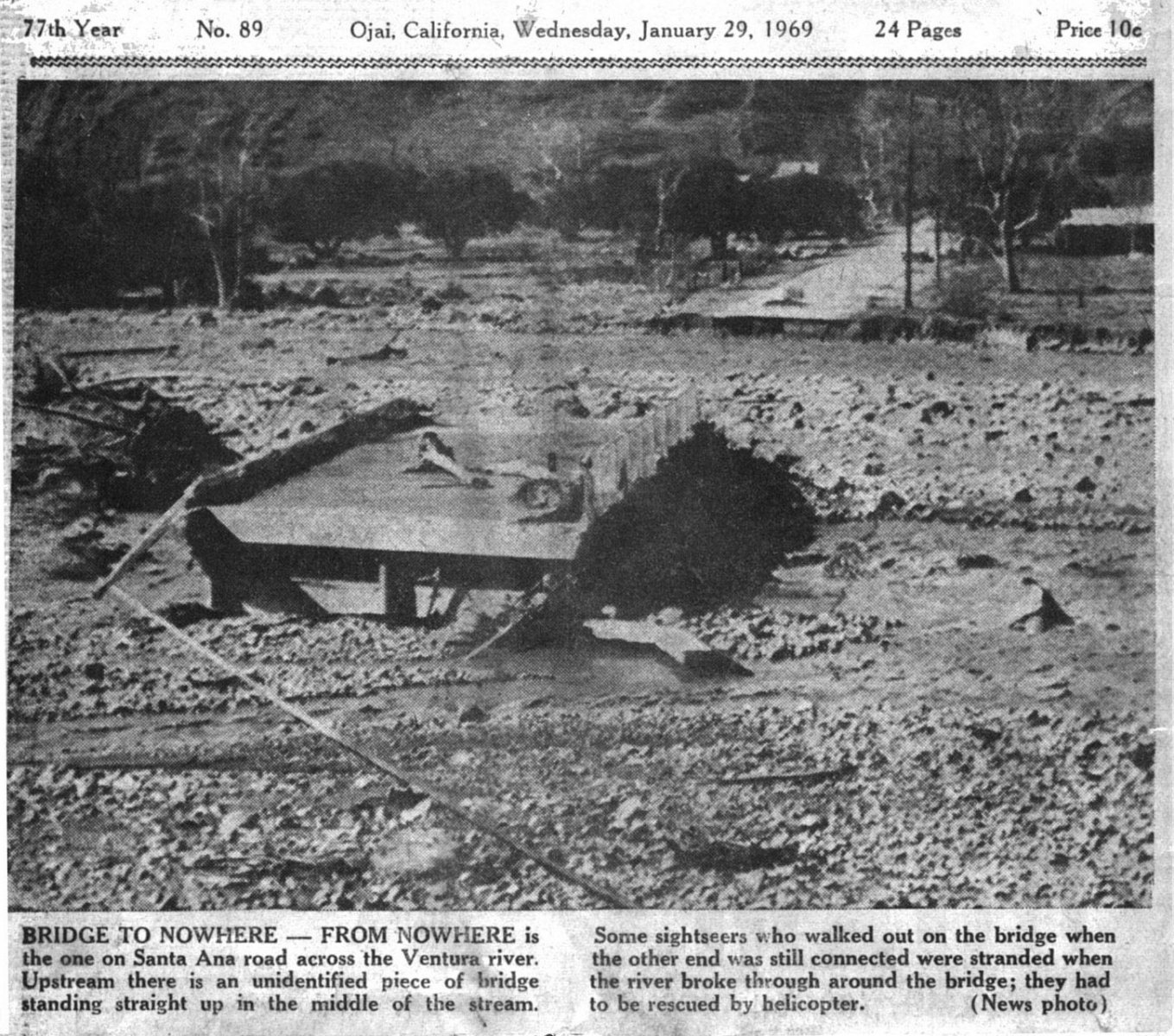
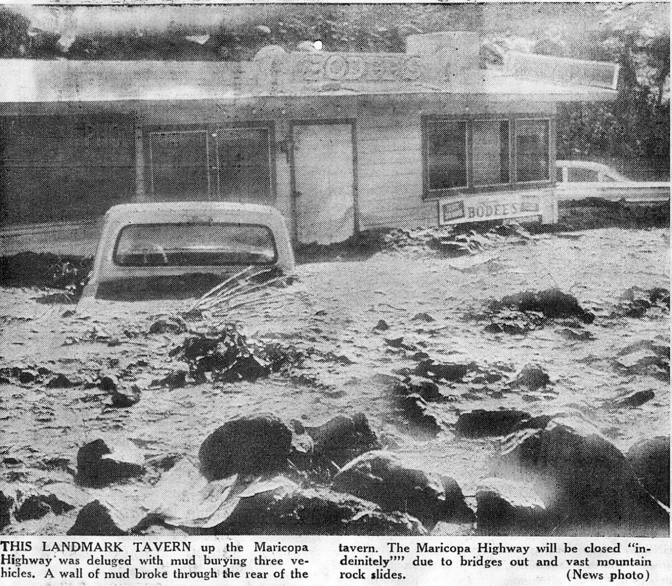
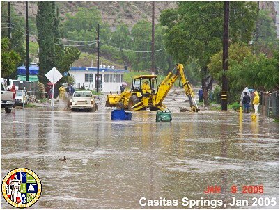
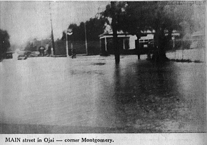
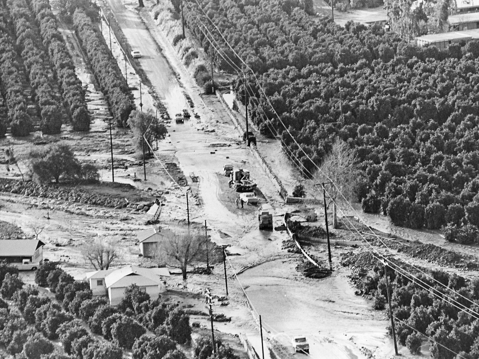
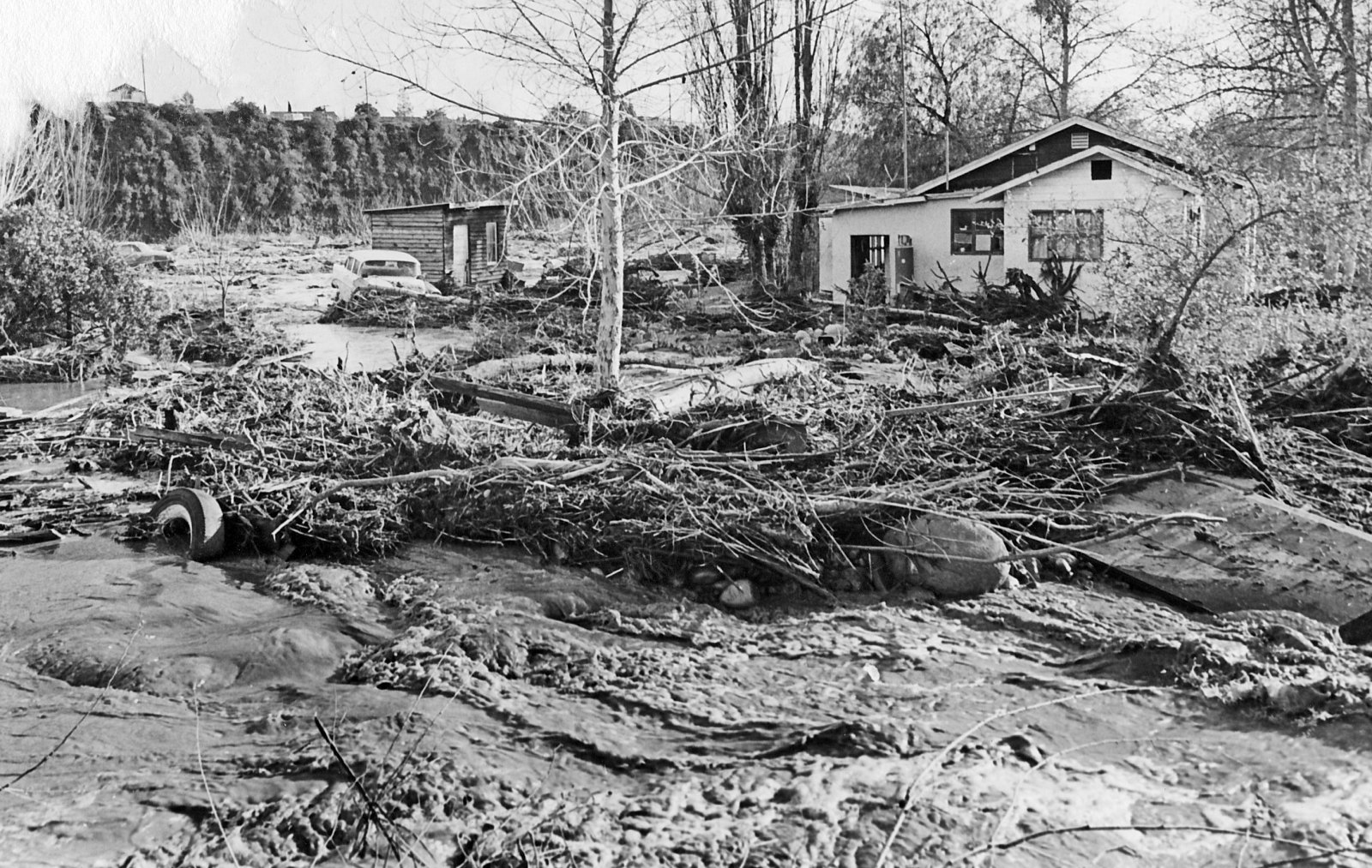
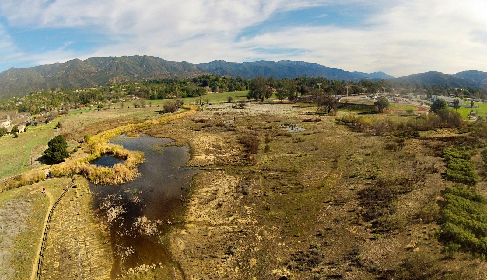
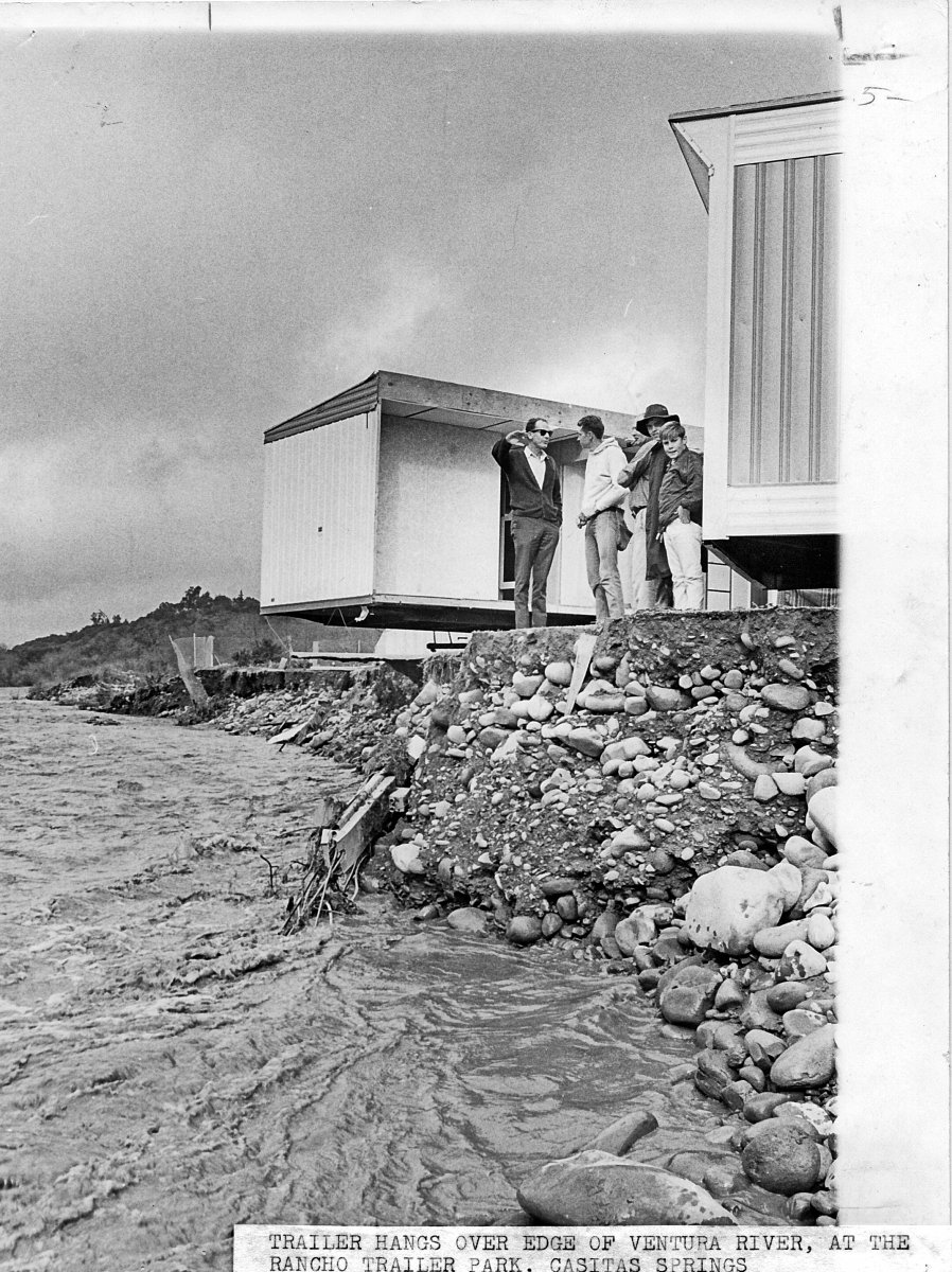
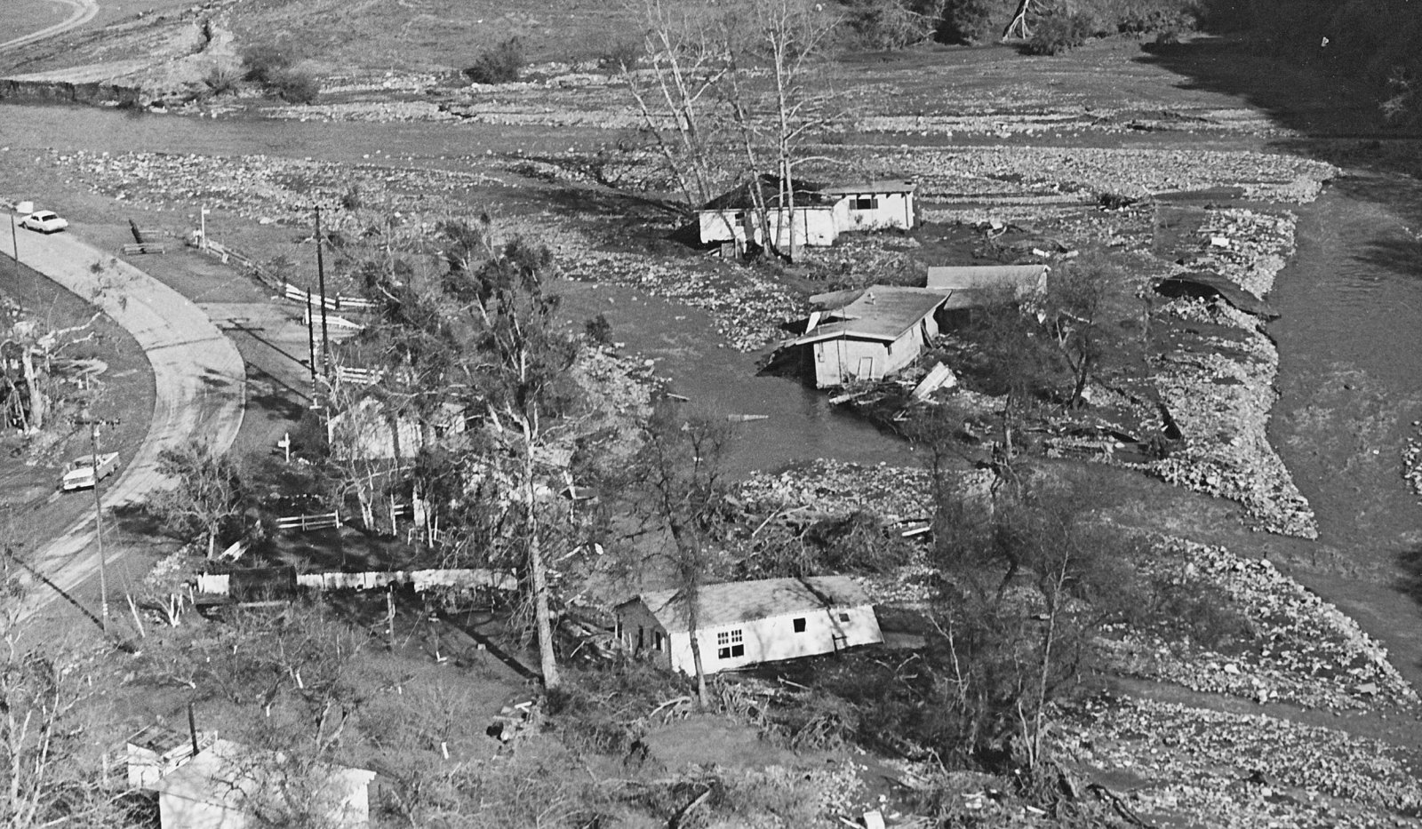
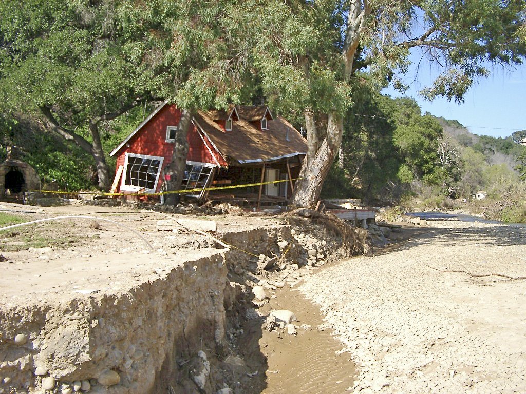
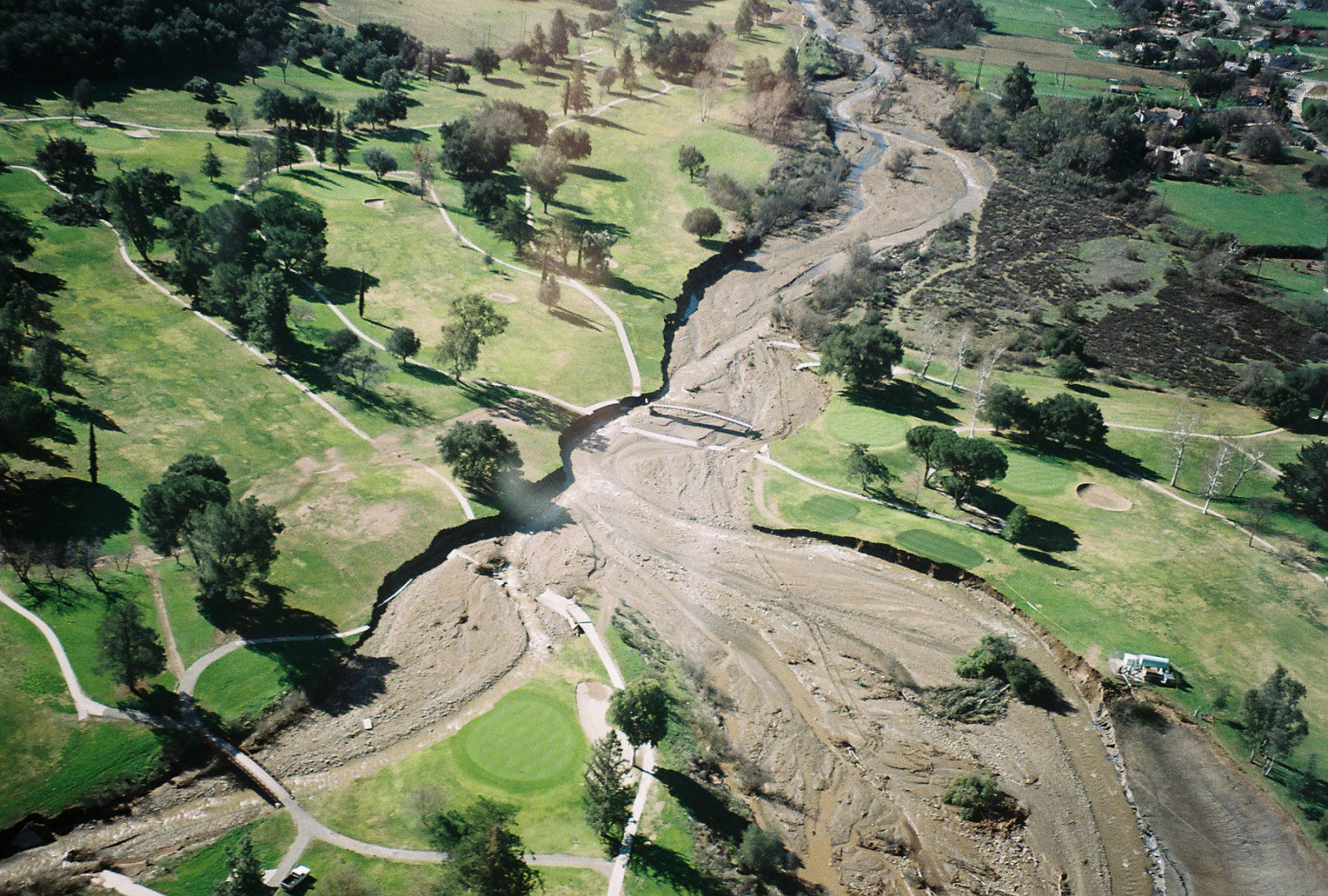
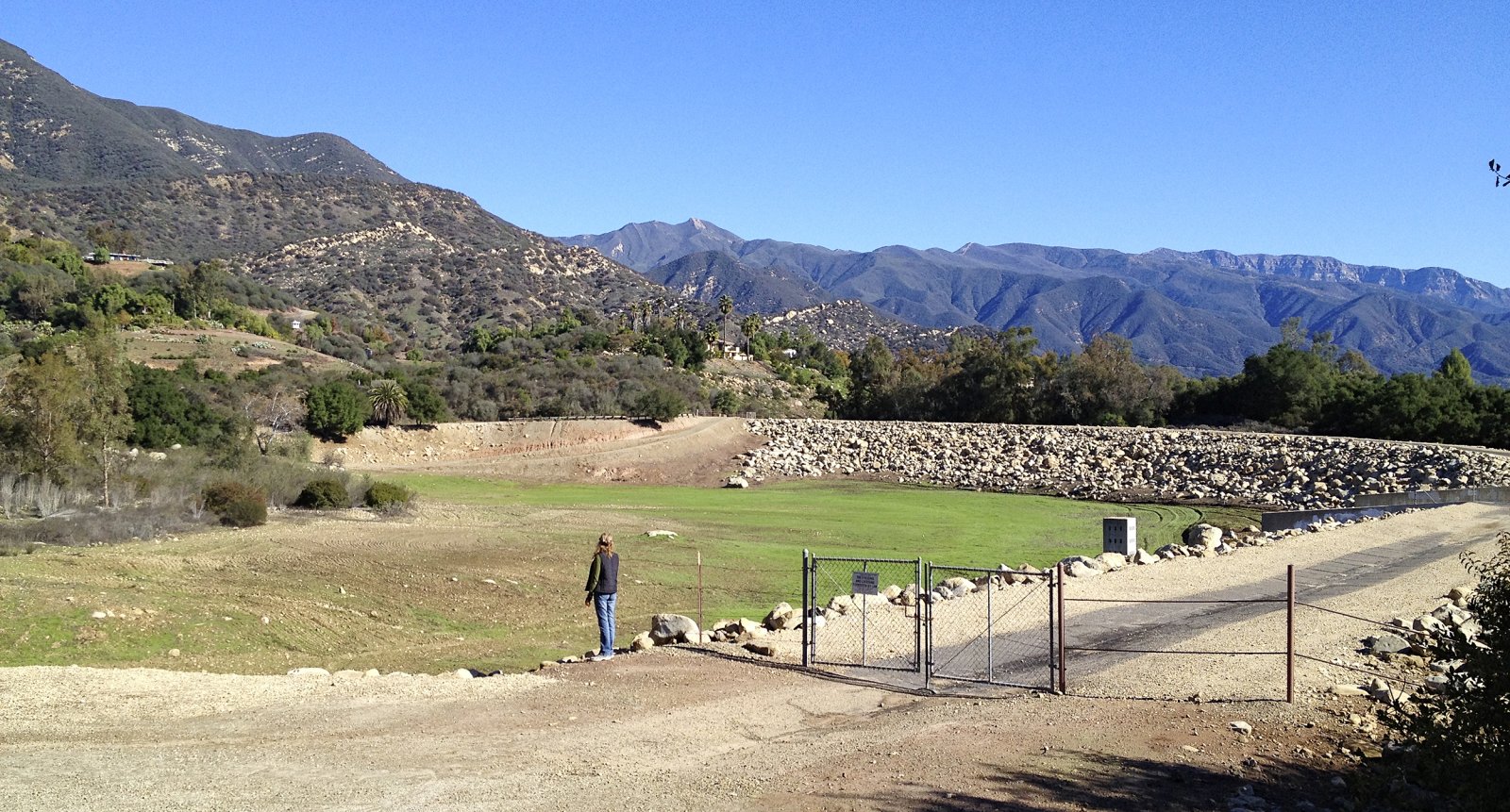
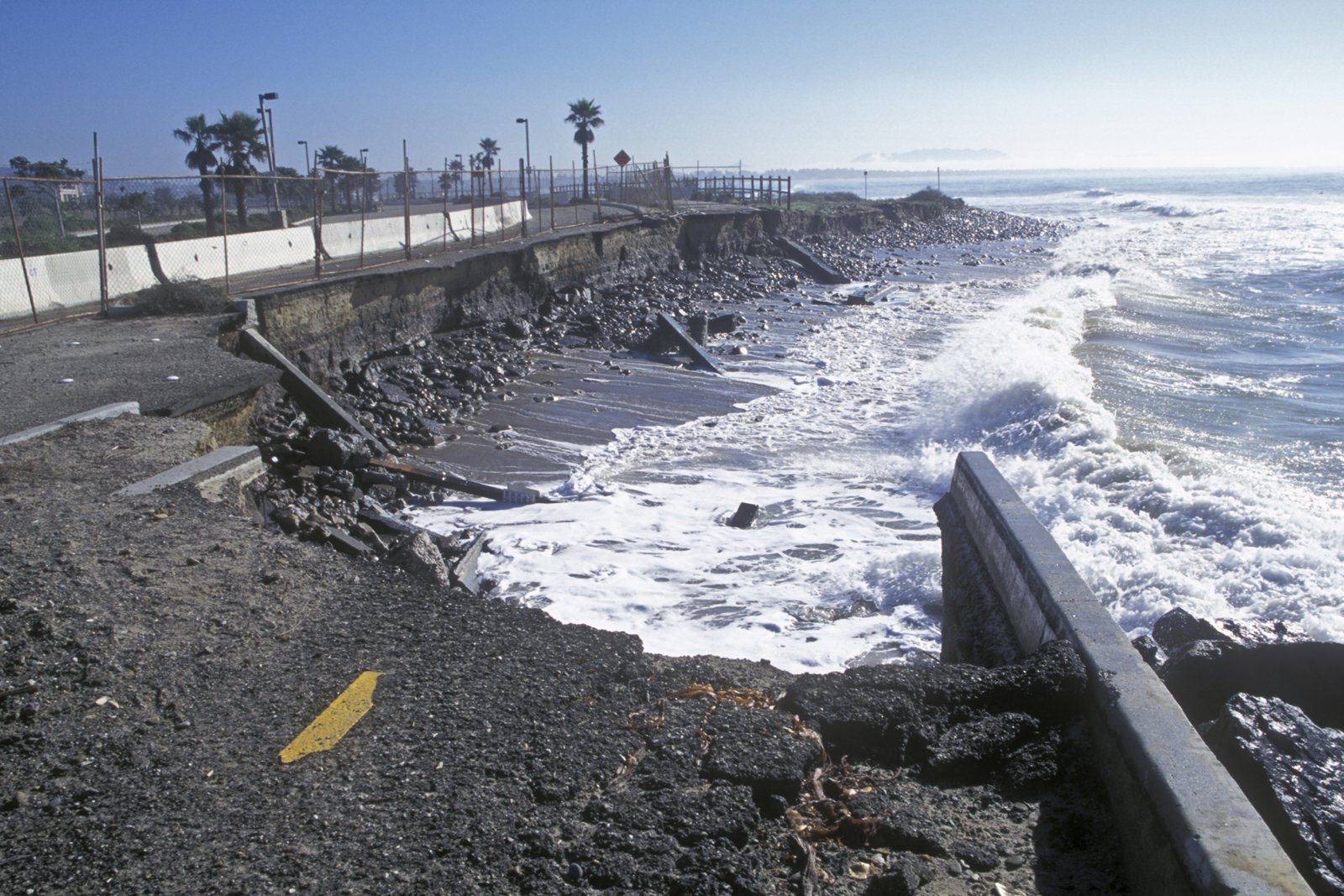
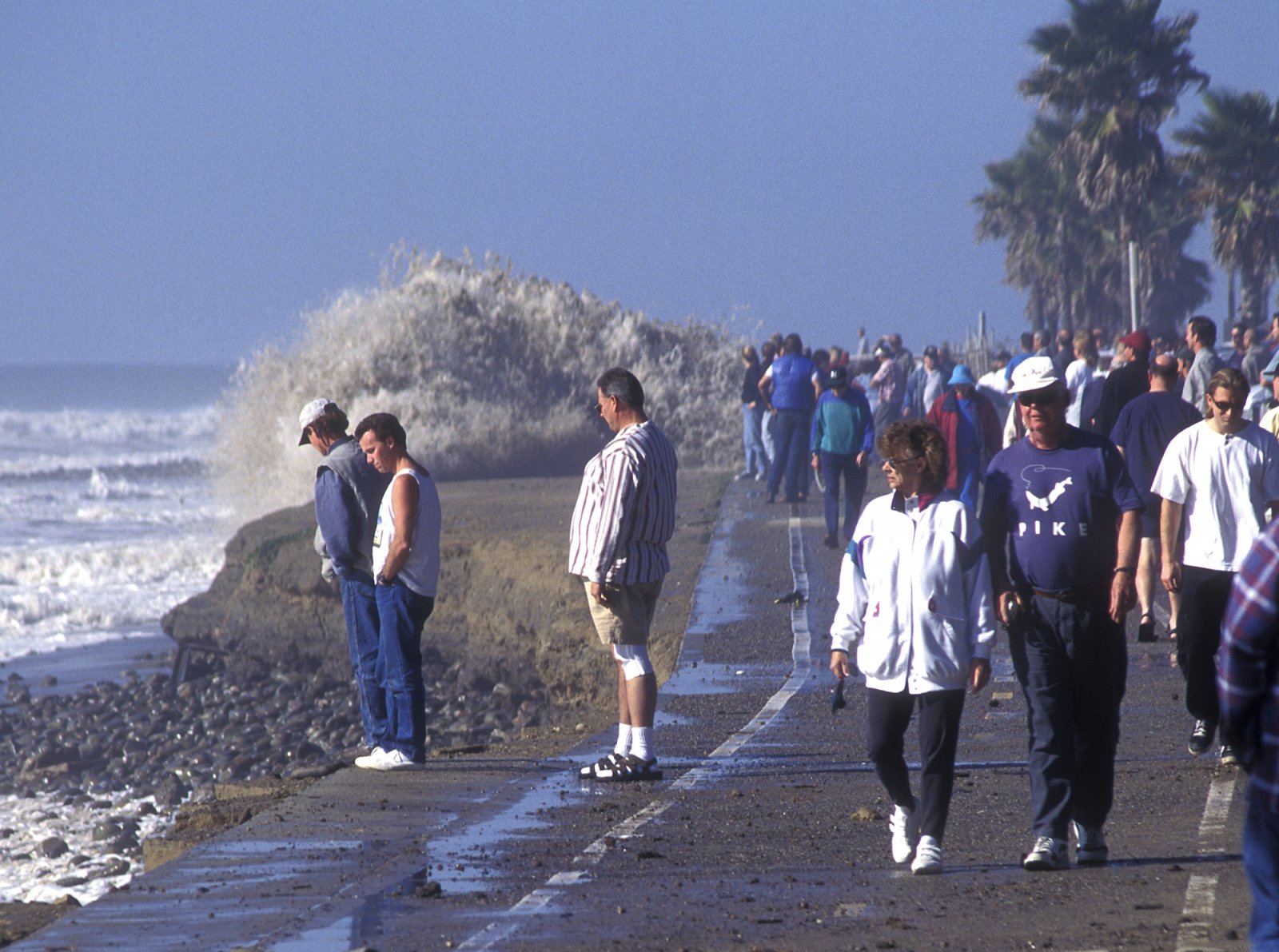
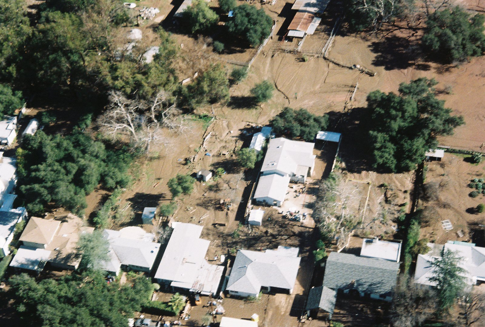
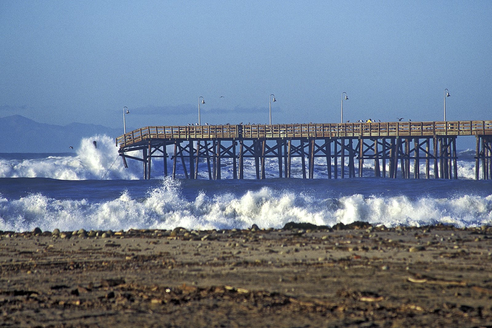
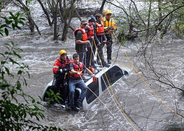
Flooding
[Show picture list]