Skip to content
Ventura River Watershed Council
  • Home
  • About Us
    • Mission & Priorities
    • VRWC Charter – Updated 2025
    • Participants
    • Leadership Committee Profiles
    • Our Staff
  • Our Watershed
    • Maps
      • Map Atlas
    • Groundwater
      • Sustainable Groundwater Management Act
      • Upper Ventura River Basin GSA
      • Ojai Basin GMA
    • Documents, Data, and Media
      • Plan
        • Management Plan
      • Data
        • Arundo-Free Watershed Campaign
        • Lake Casitas Storage
        • Upper Ventura River Groundwater Levels
        • Current Streamflow
        • FEMA Flood Maps
        • Historical Rainfall & Streamflow Data
        • Watershed Documents
      • Media
        • Council Brochure
        • Photo Gallery
        • Videos
          • Videos from the Ventura River Watershed
      • Resources
  • Council Meetings
    • Upcoming Council Meetings
    • Past Council Meetings & Presentations
    • Other Meetings
  • Contact Us
  • Watershed Resilience Project
Menu
  • Home
  • About Us
    • Mission & Priorities
    • VRWC Charter – Updated 2025
    • Participants
    • Leadership Committee Profiles
    • Our Staff
  • Our Watershed
    • Maps
      • Map Atlas
    • Groundwater
      • Sustainable Groundwater Management Act
      • Upper Ventura River Basin GSA
      • Ojai Basin GMA
    • Documents, Data, and Media
      • Plan
        • Management Plan
      • Data
        • Arundo-Free Watershed Campaign
        • Lake Casitas Storage
        • Upper Ventura River Groundwater Levels
        • Current Streamflow
        • FEMA Flood Maps
        • Historical Rainfall & Streamflow Data
        • Watershed Documents
      • Media
        • Council Brochure
        • Photo Gallery
        • Videos
          • Videos from the Ventura River Watershed
      • Resources
  • Council Meetings
    • Upcoming Council Meetings
    • Past Council Meetings & Presentations
    • Other Meetings
  • Contact Us
  • Watershed Resilience Project

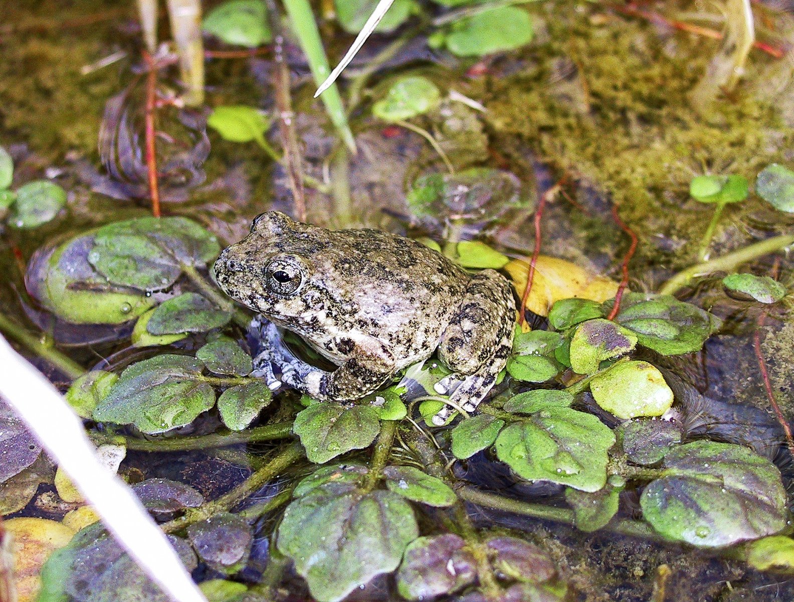
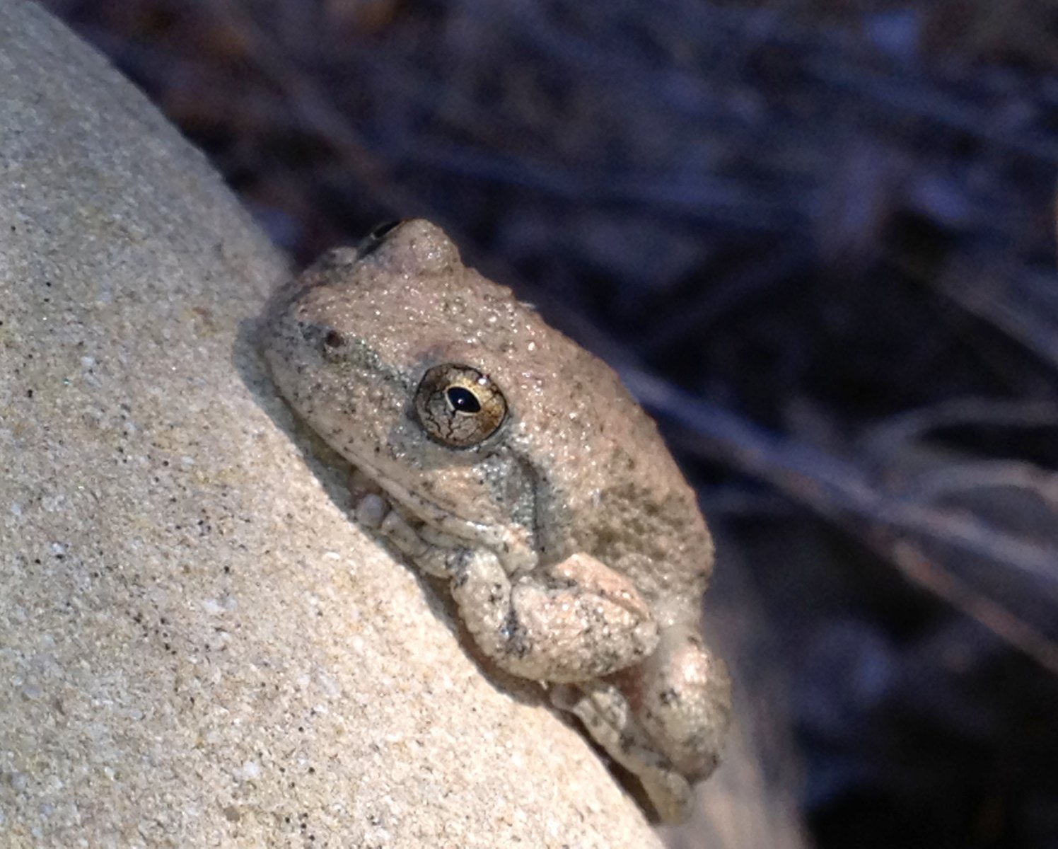
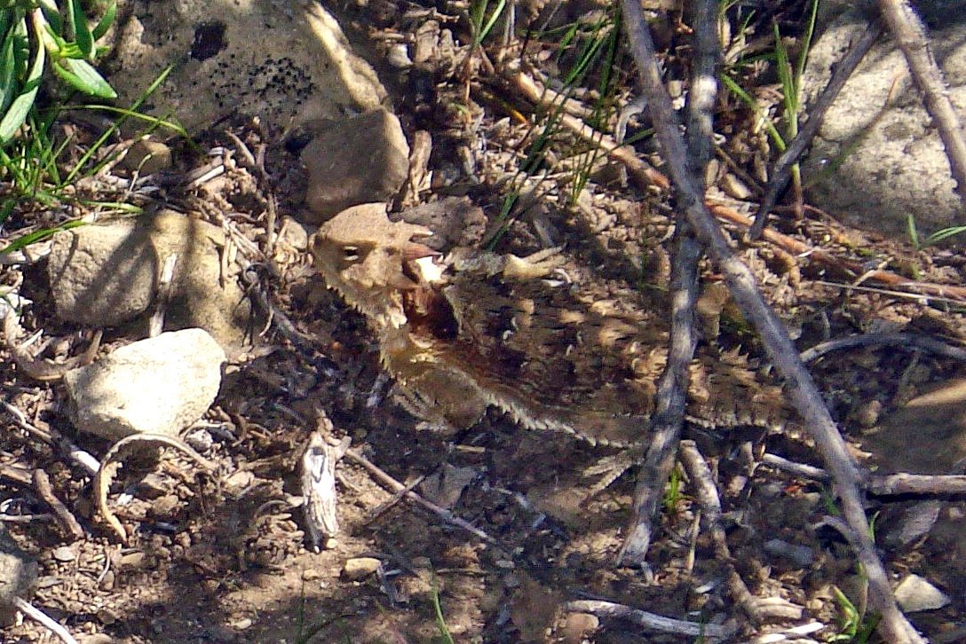
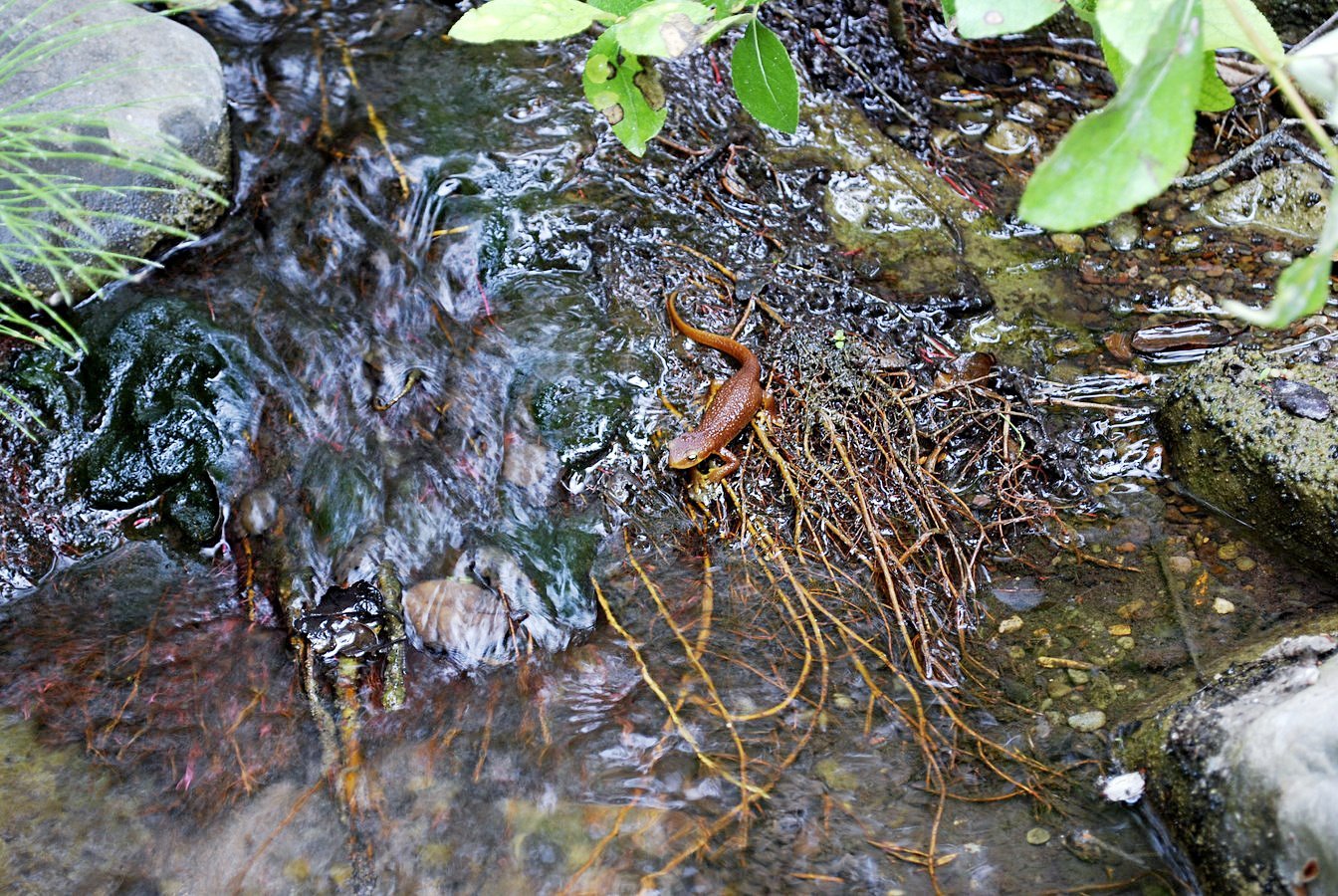
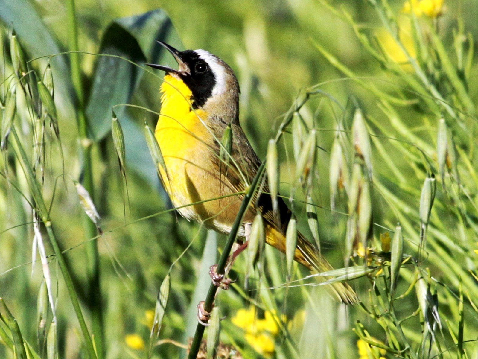
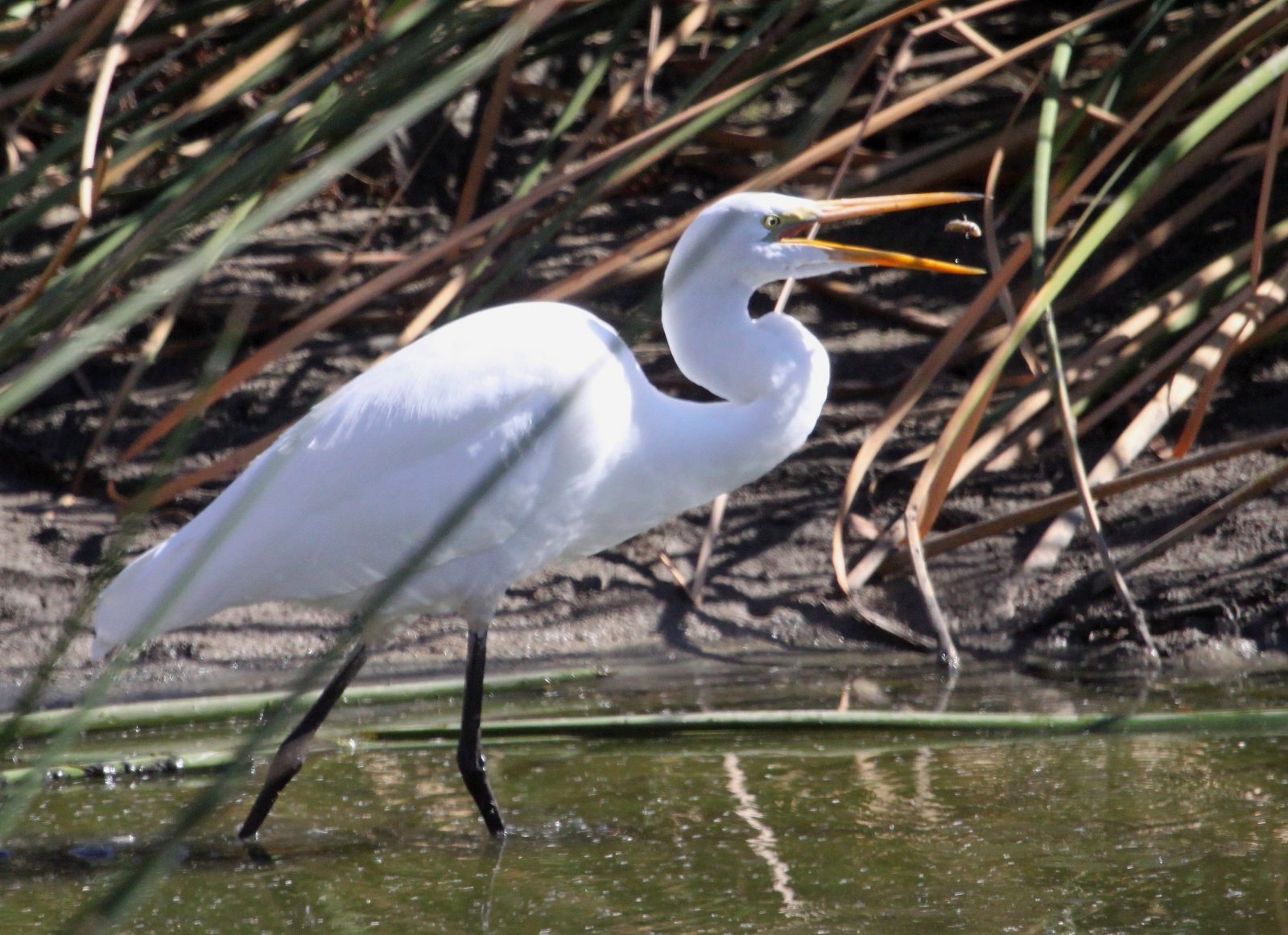
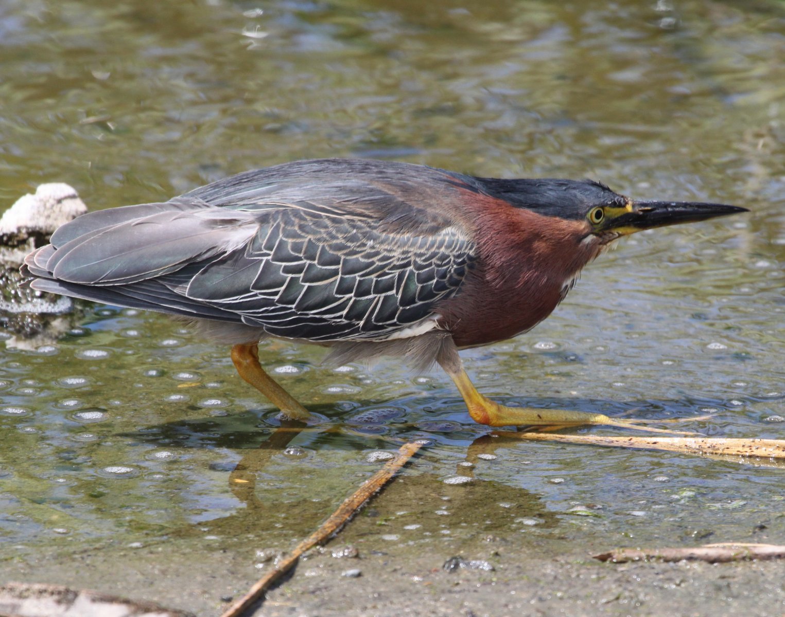
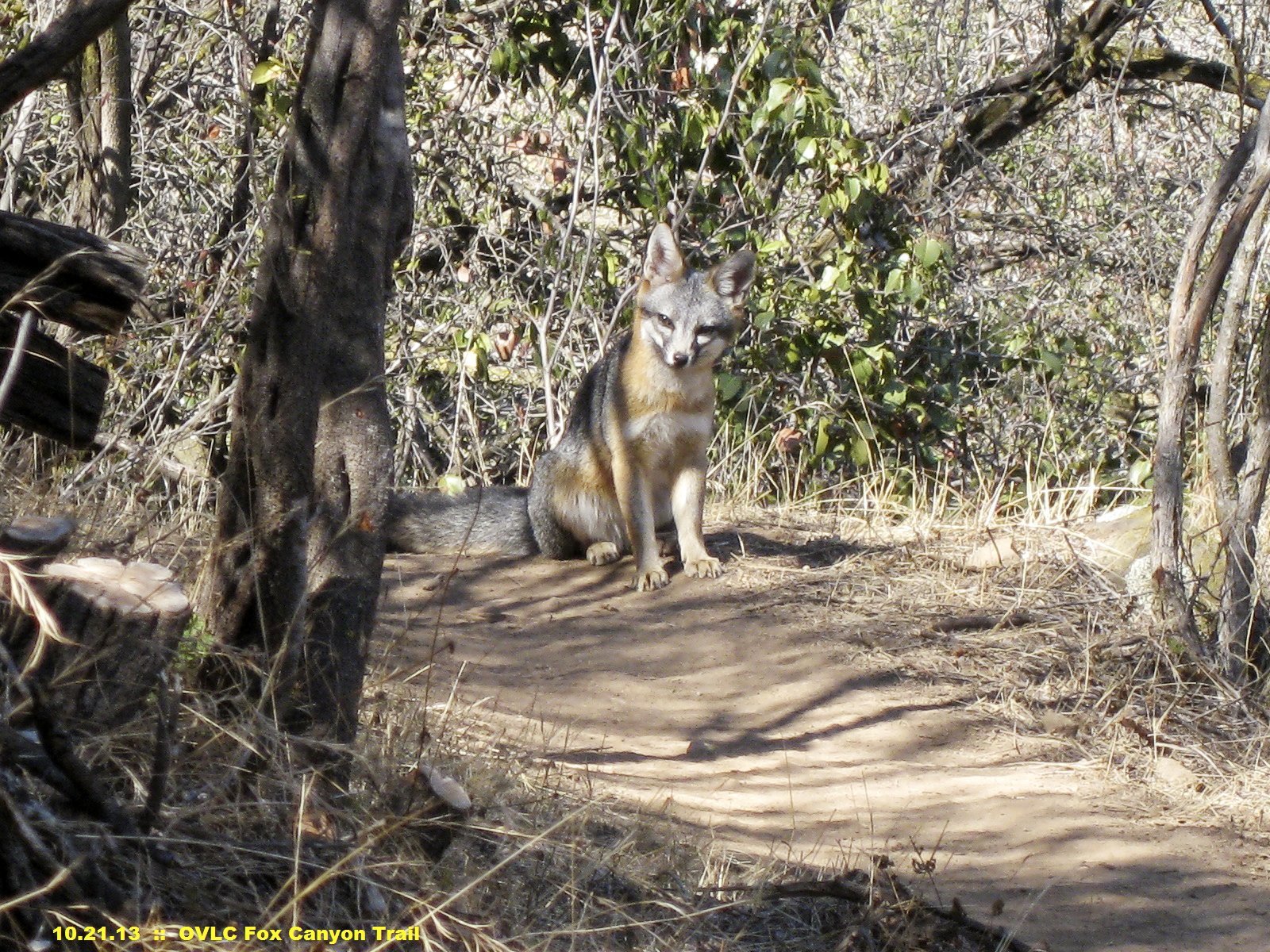
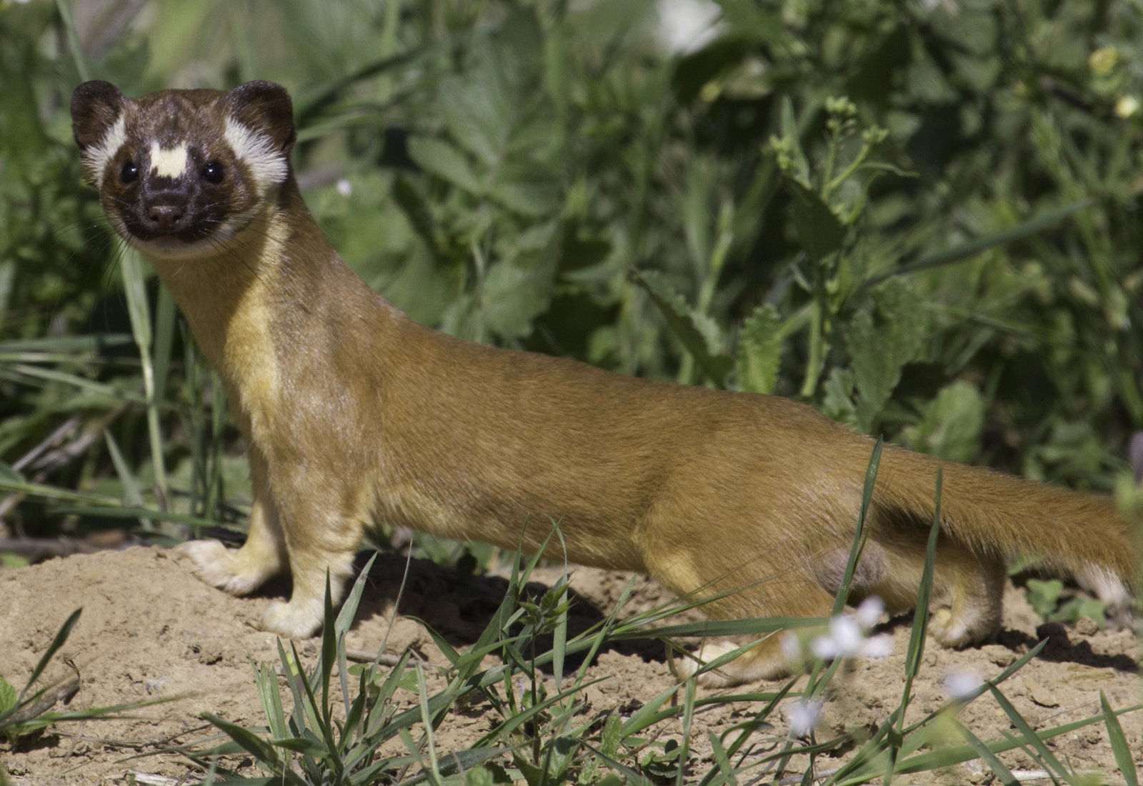
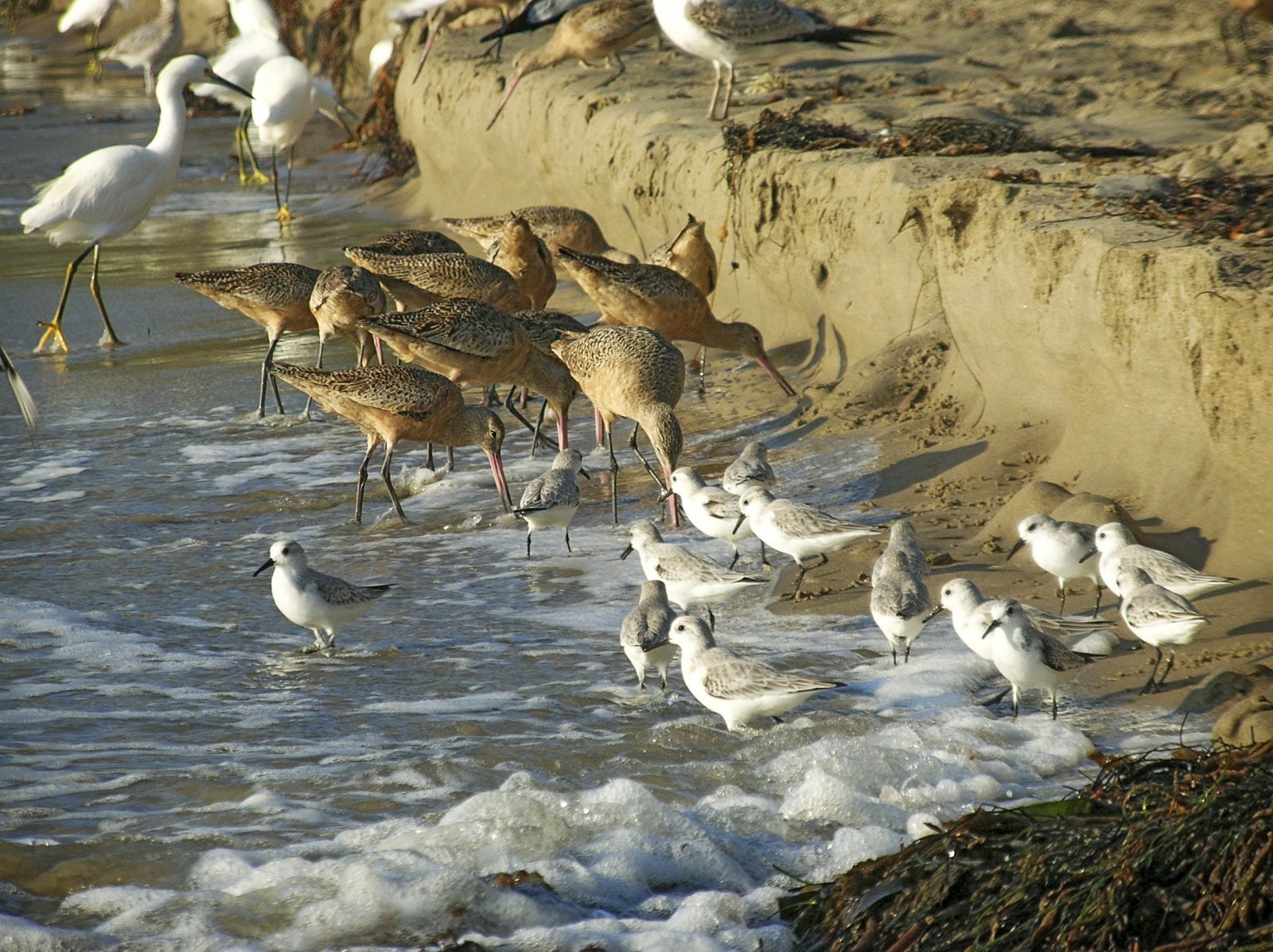
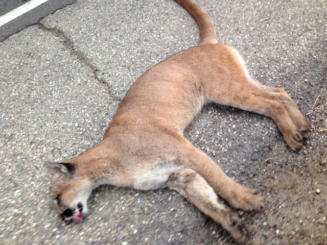
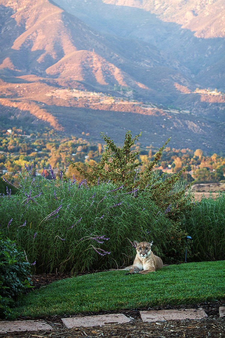
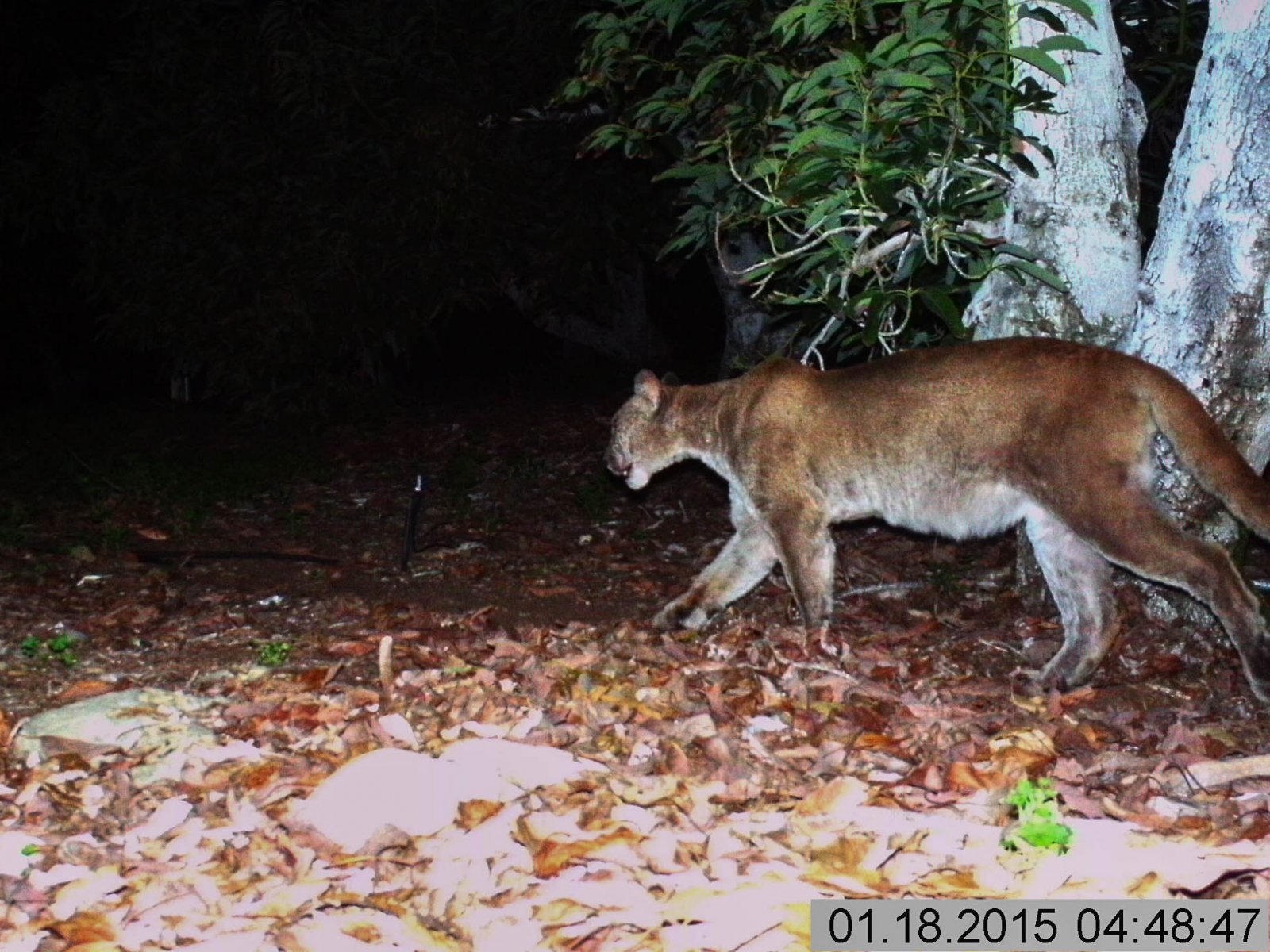
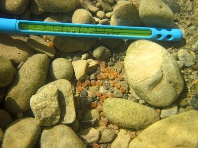
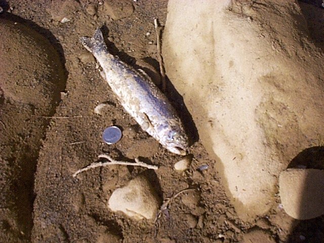
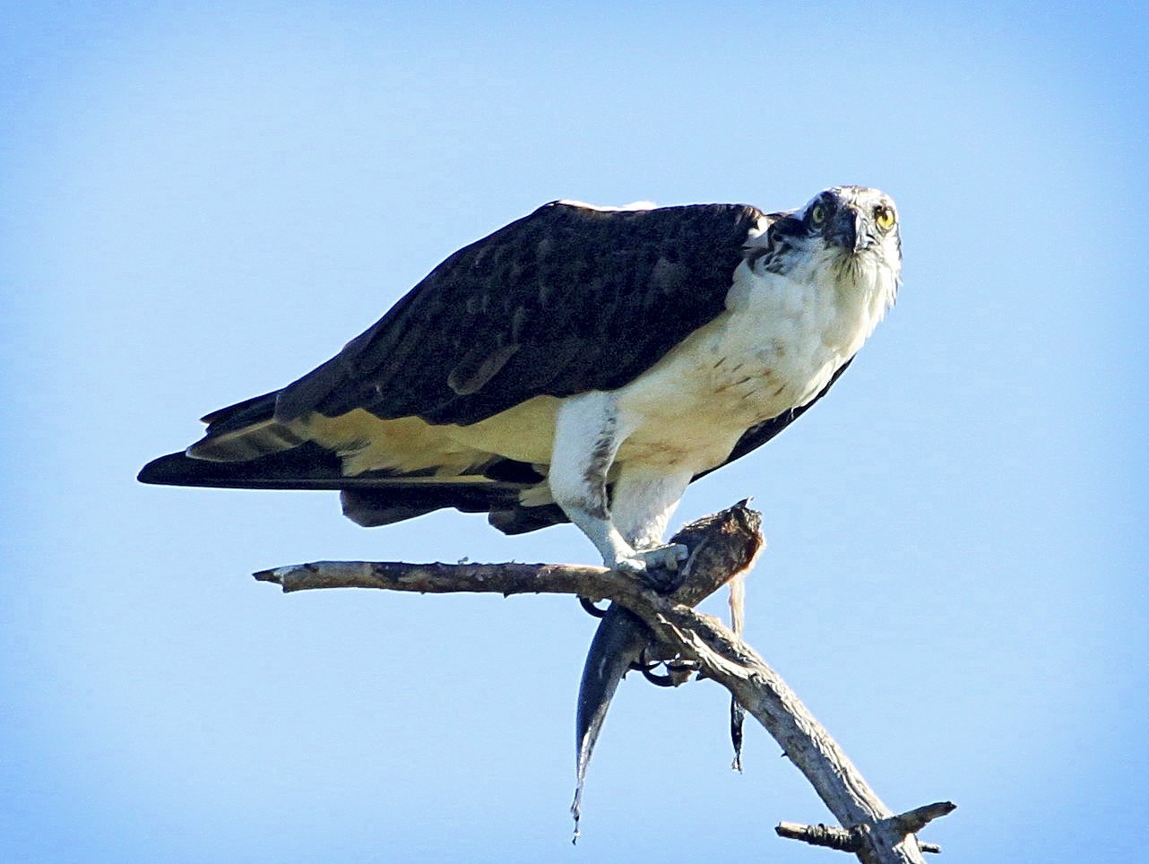
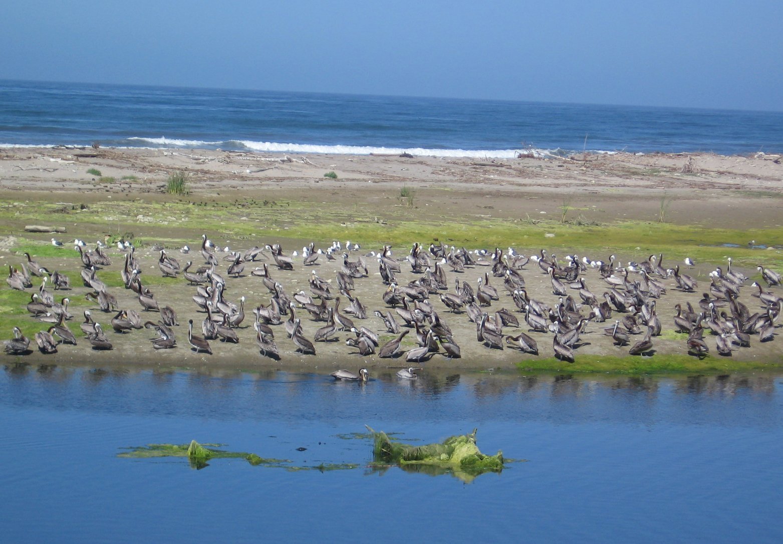
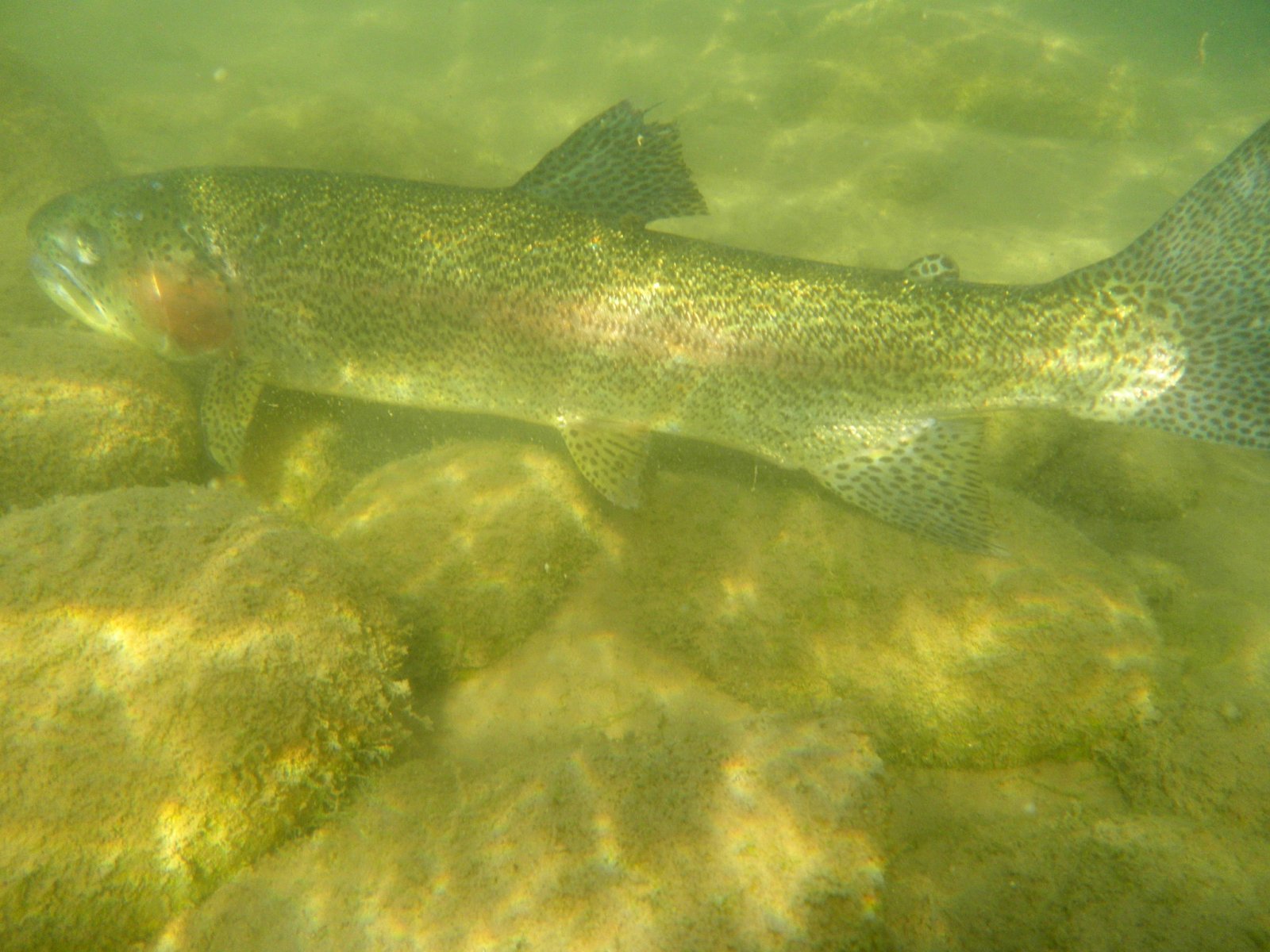
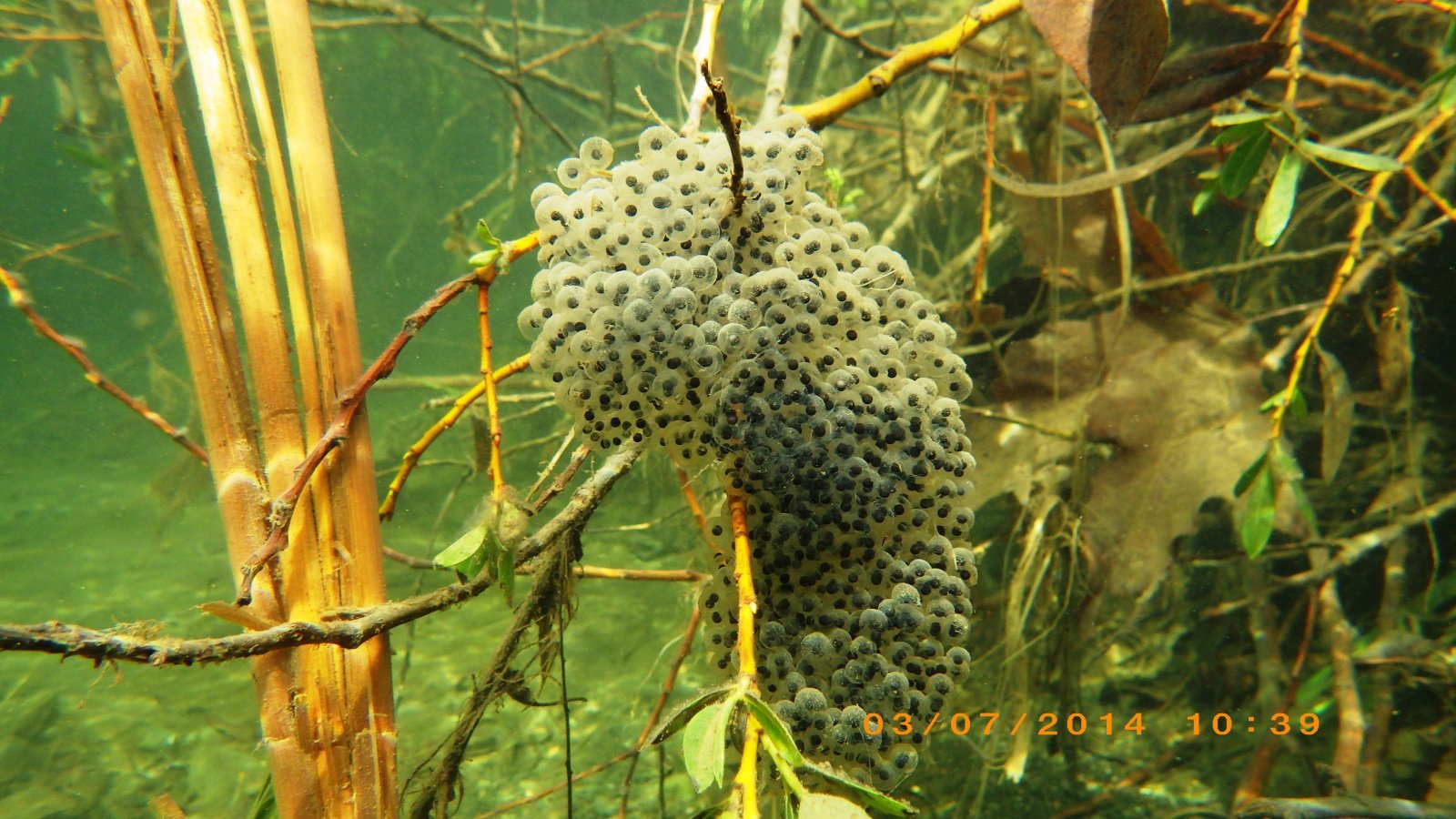
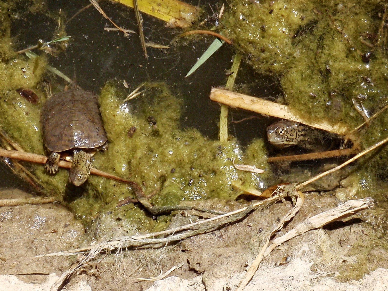
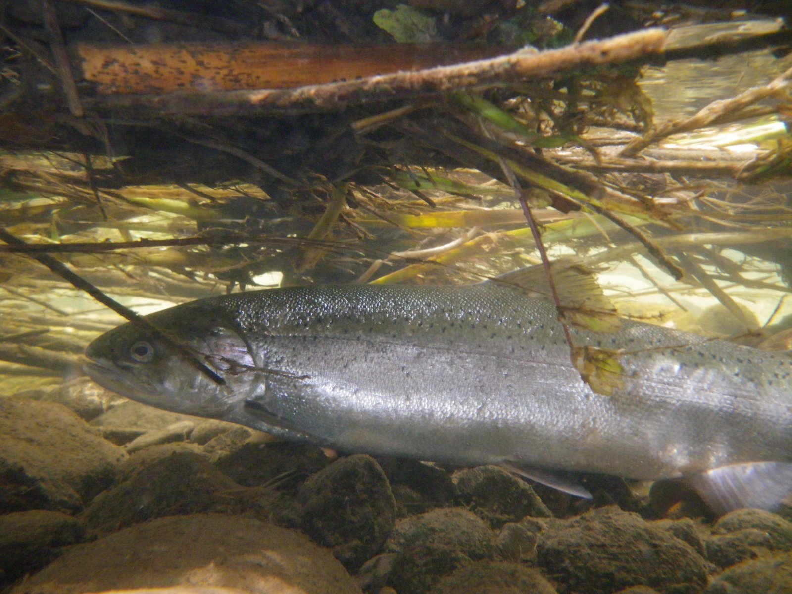
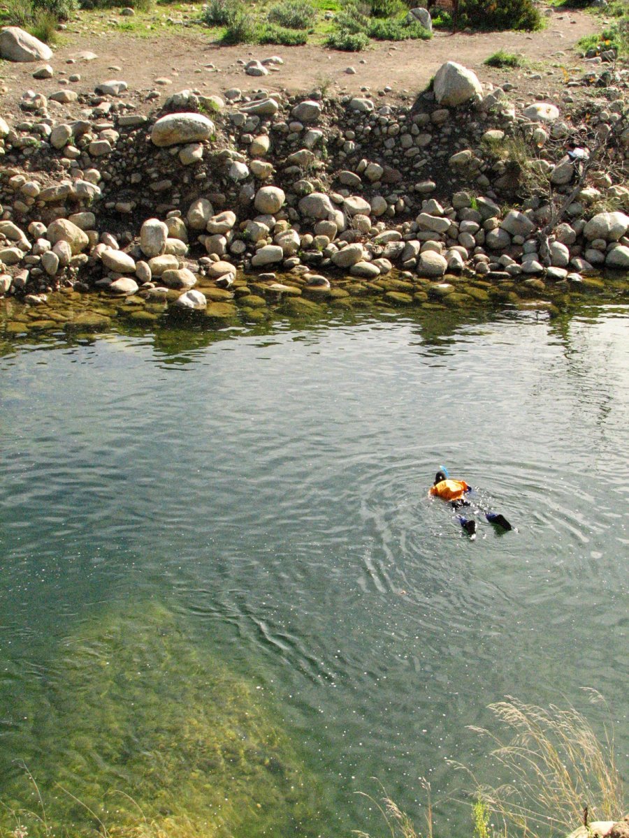
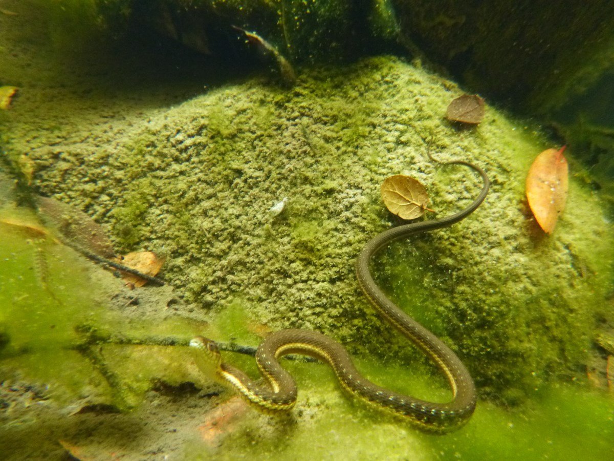
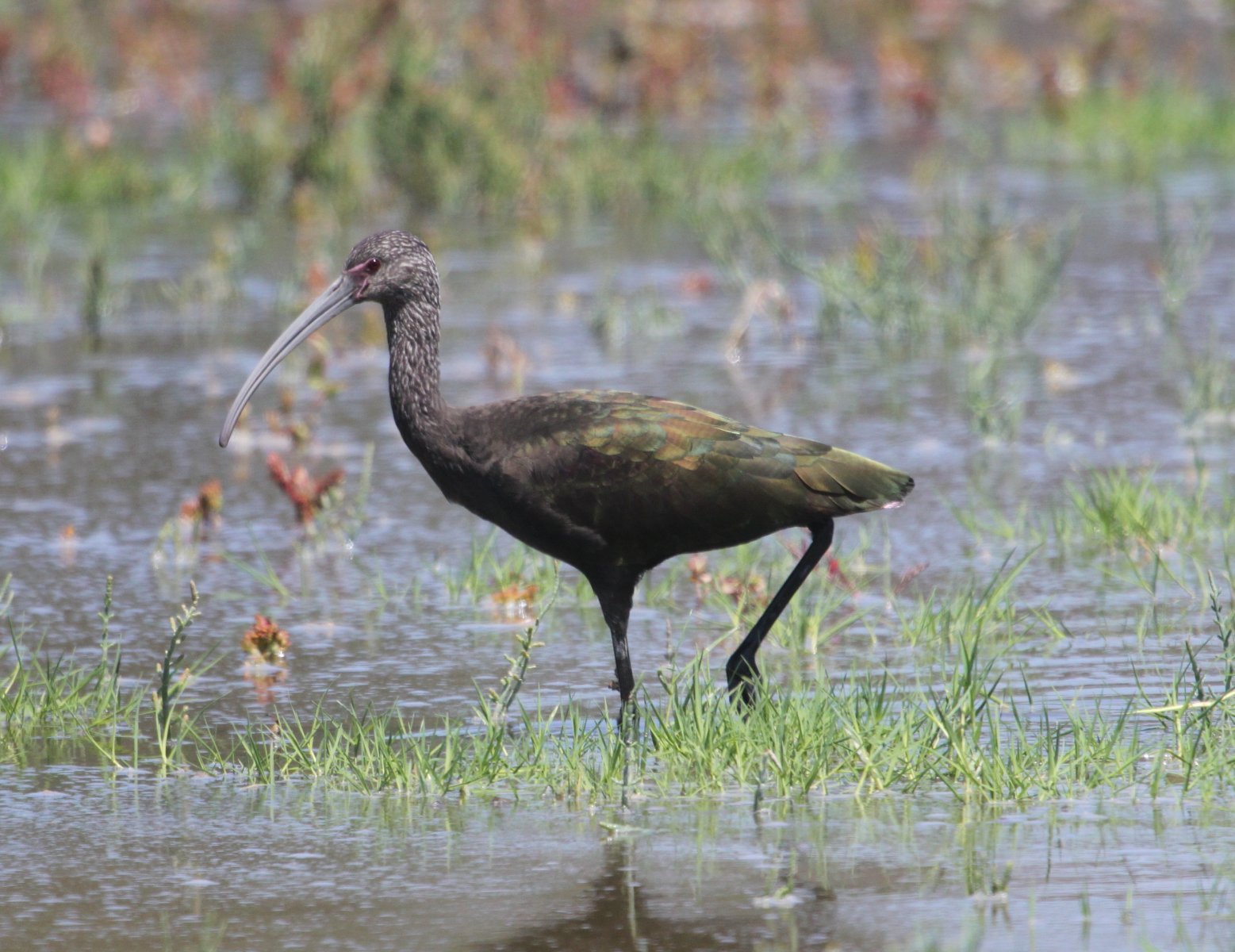
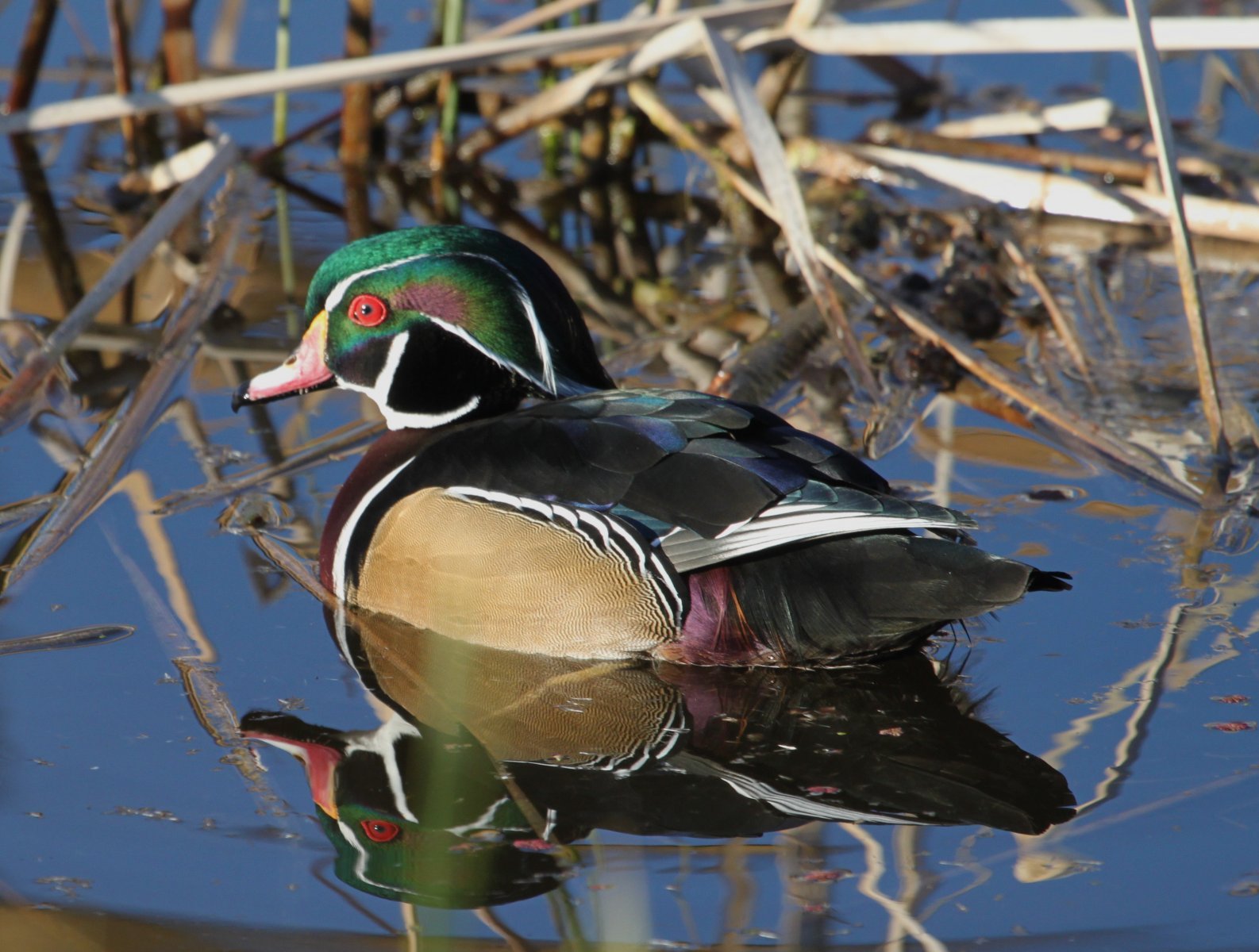
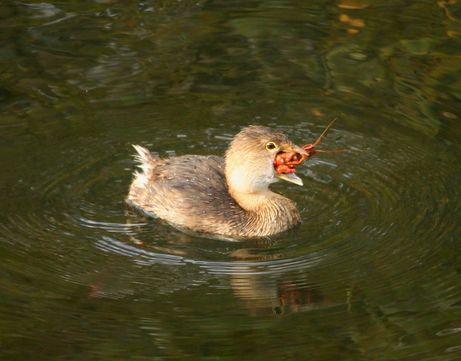
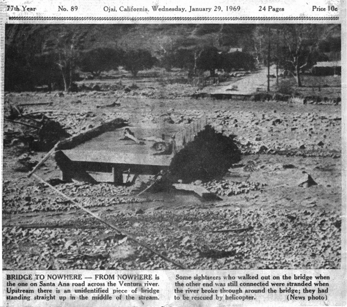
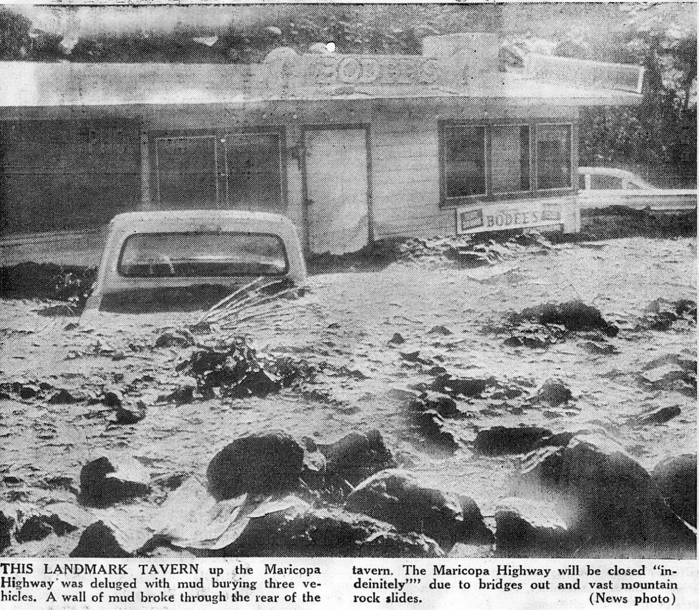
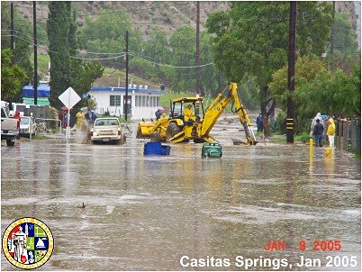
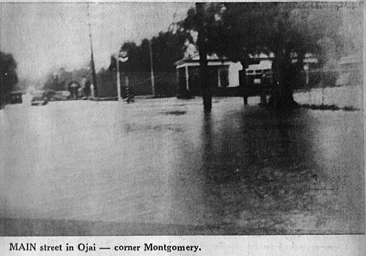
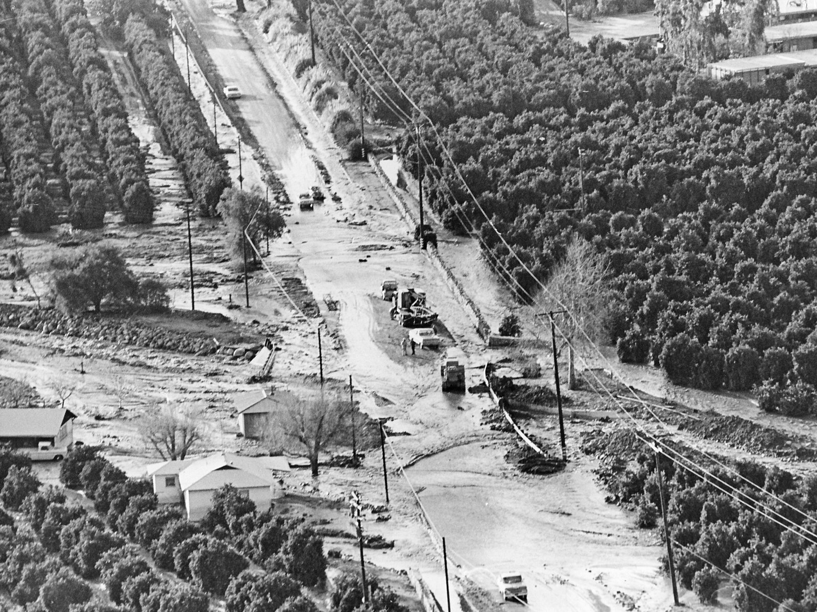
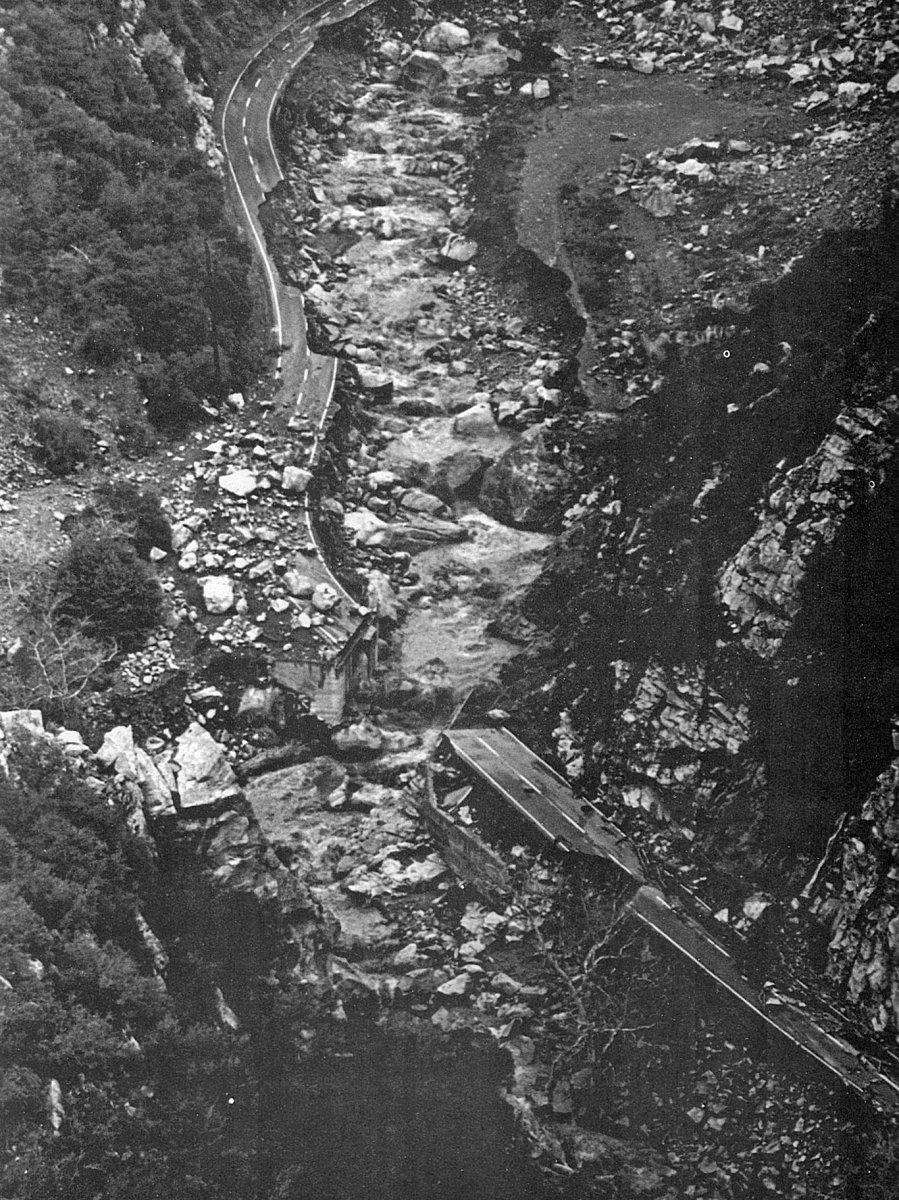
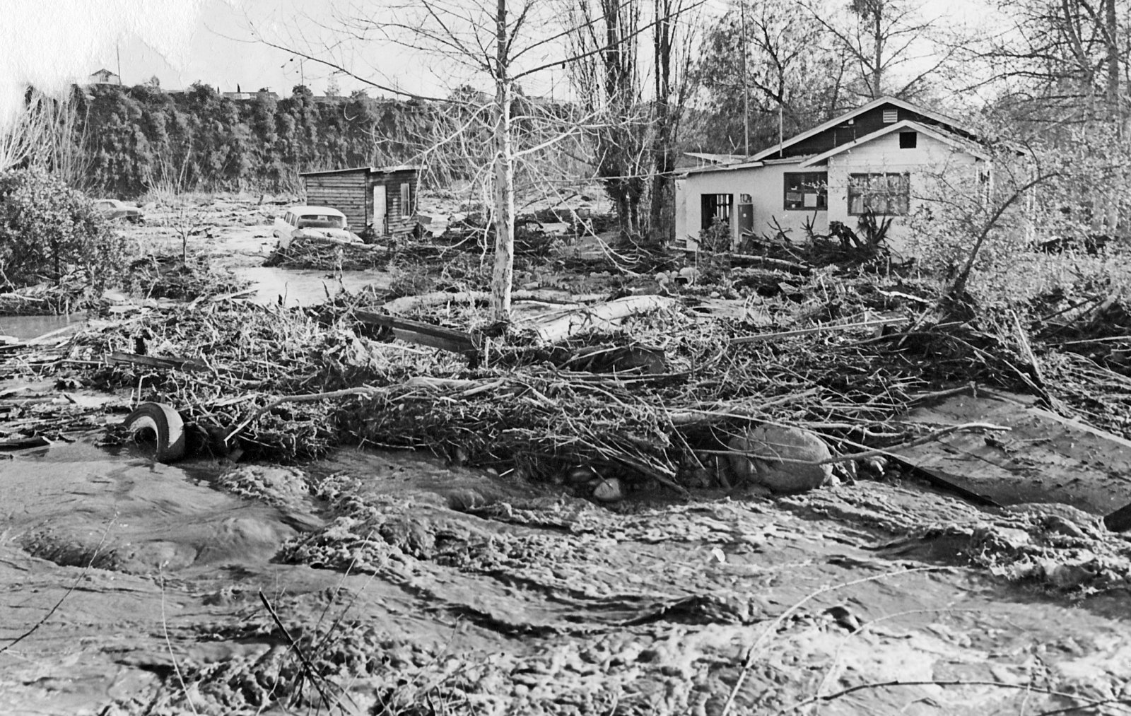
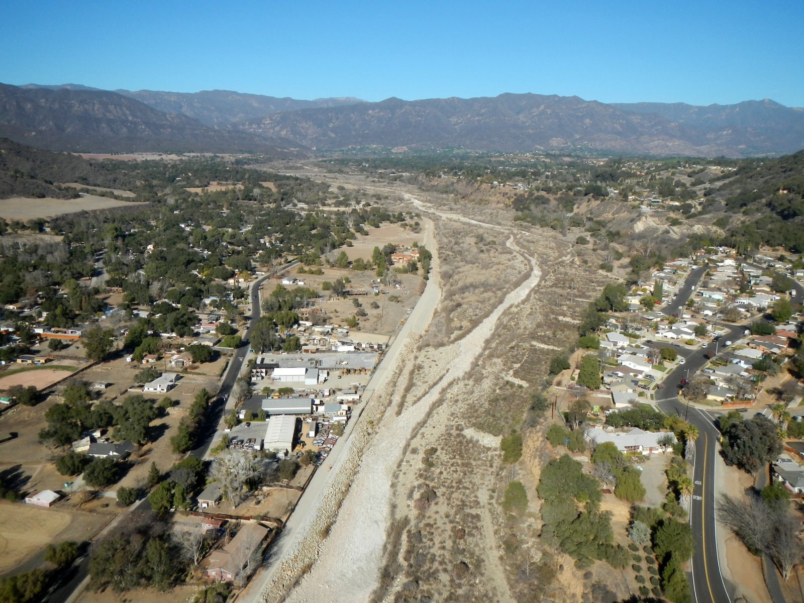
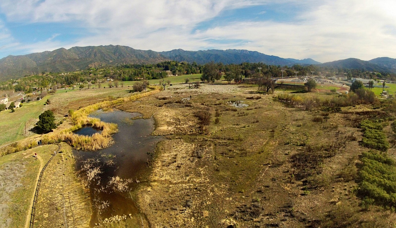
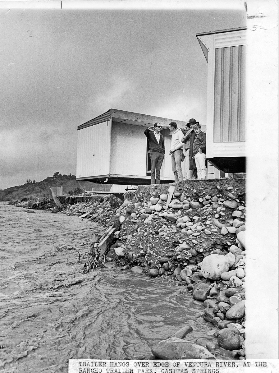
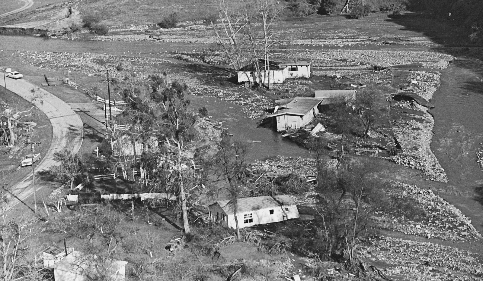
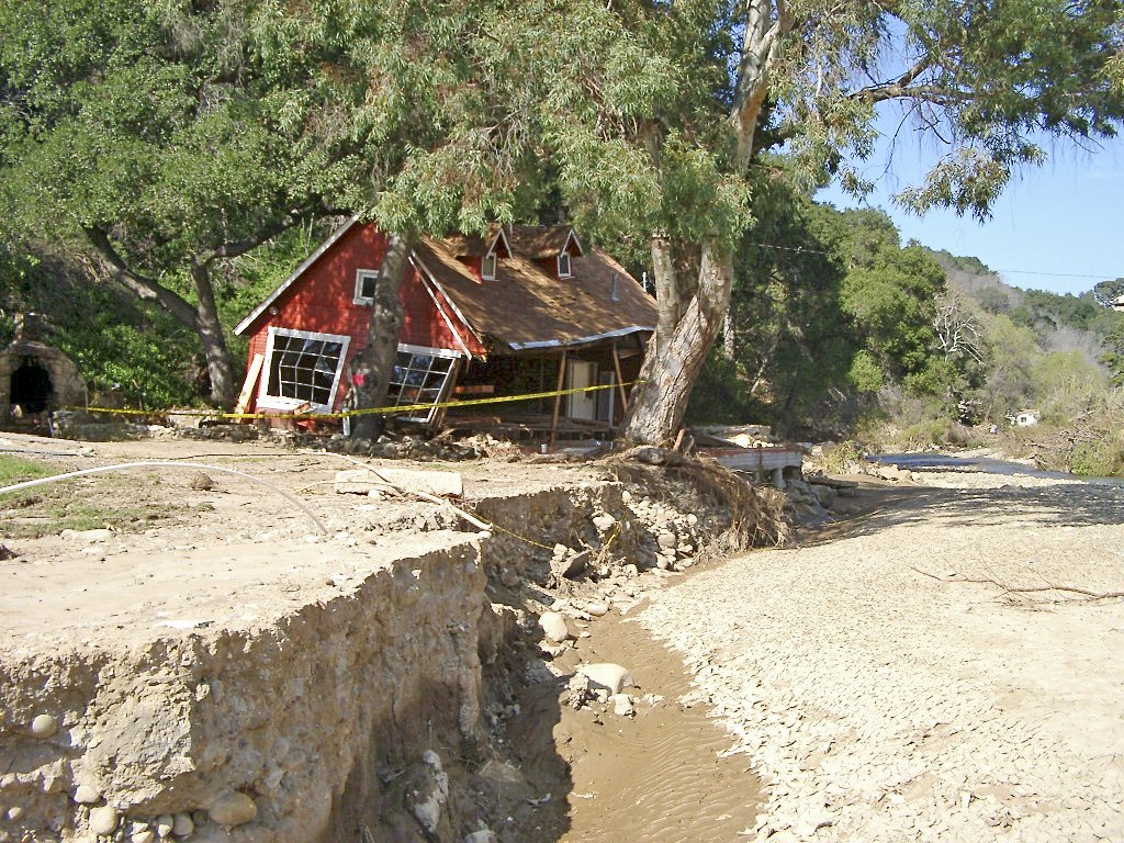
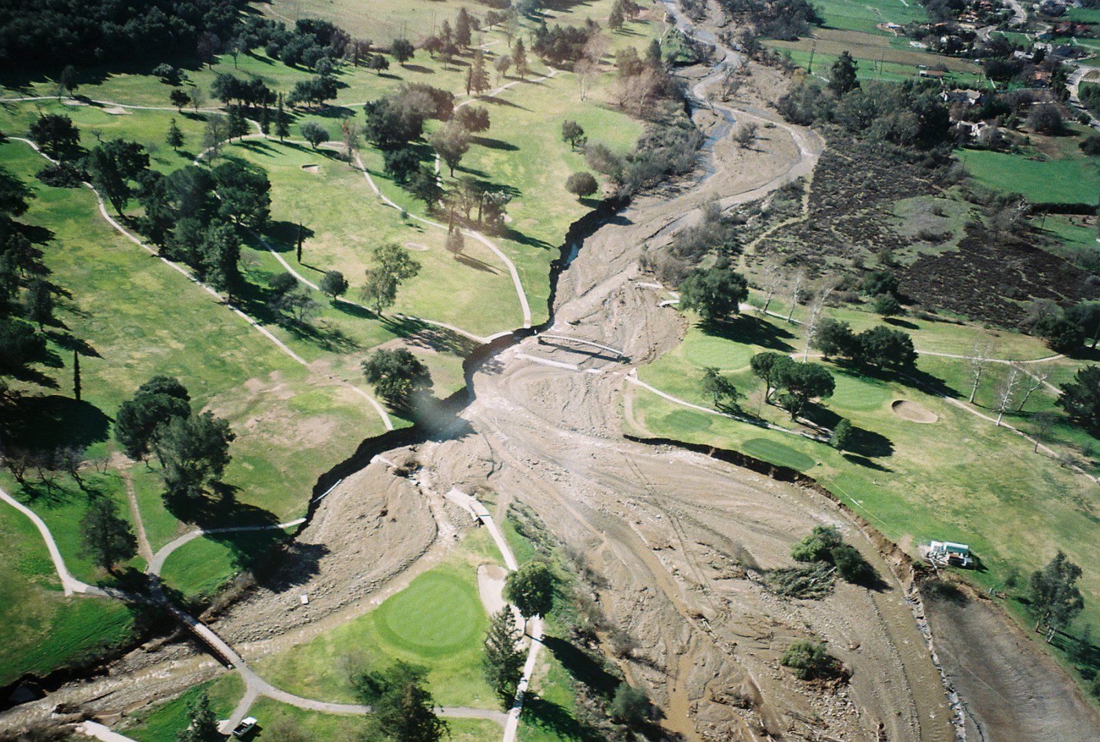
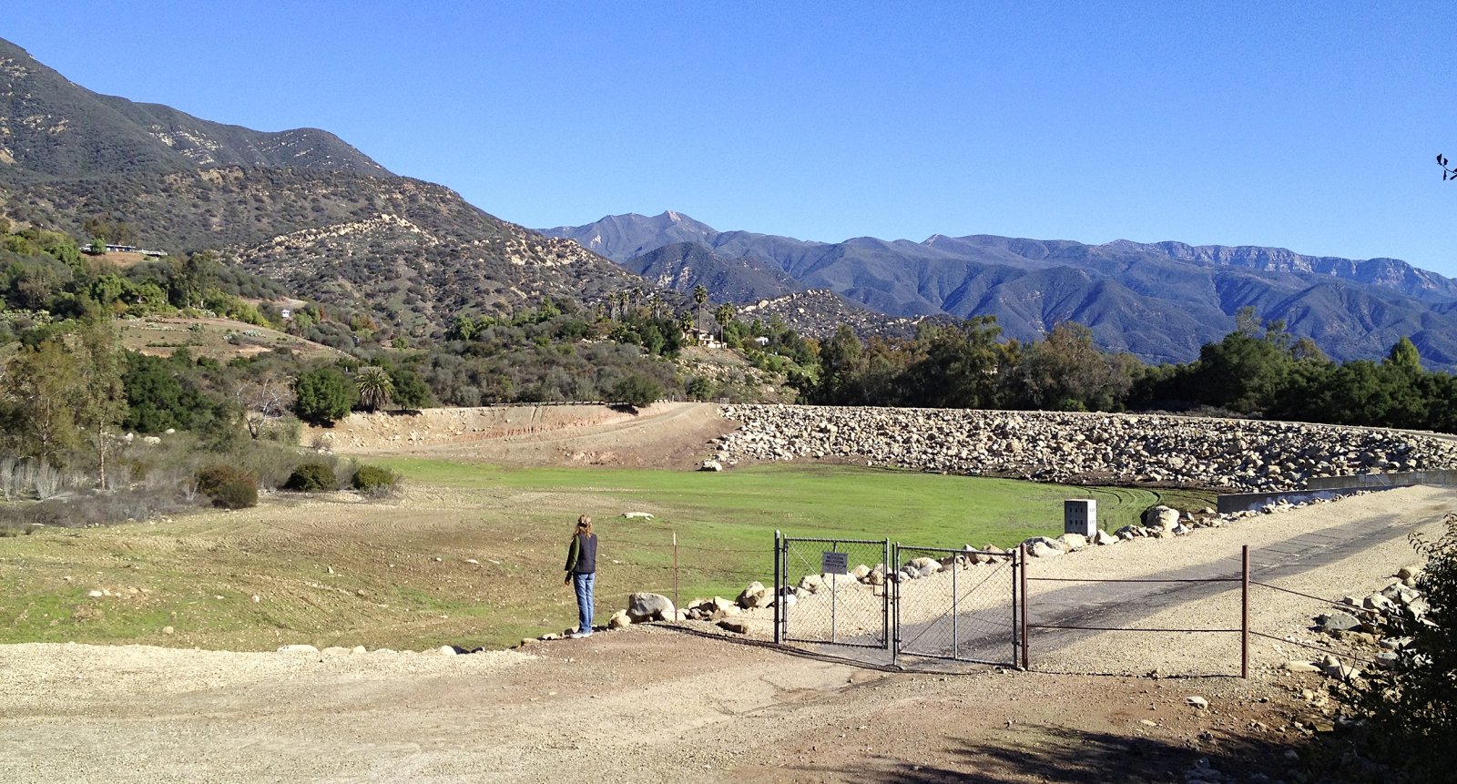
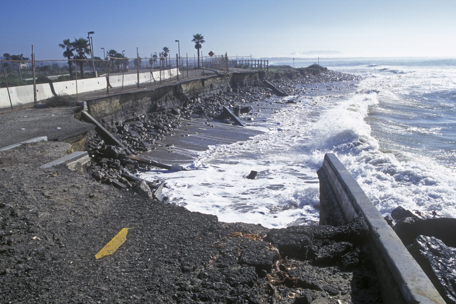
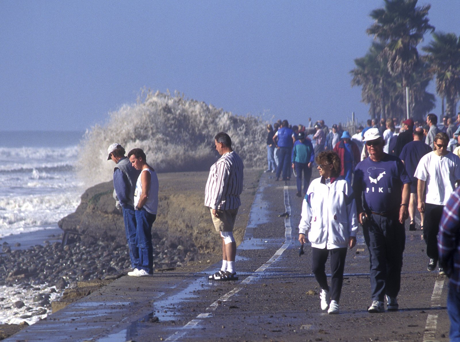
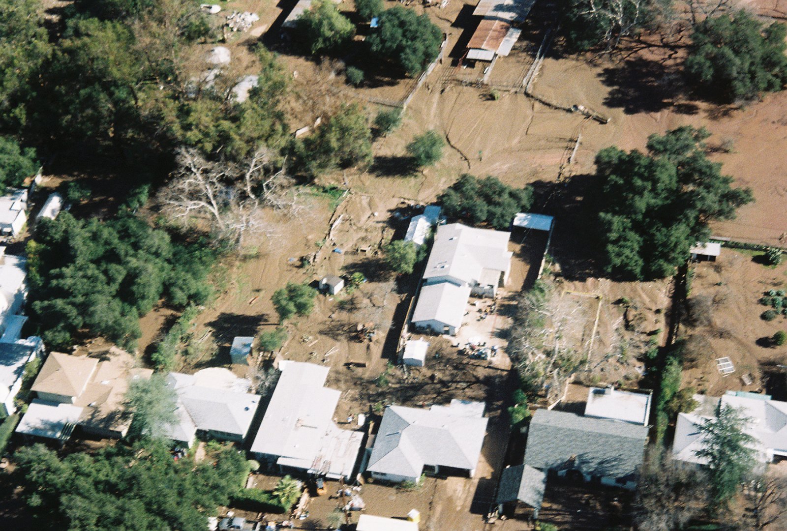
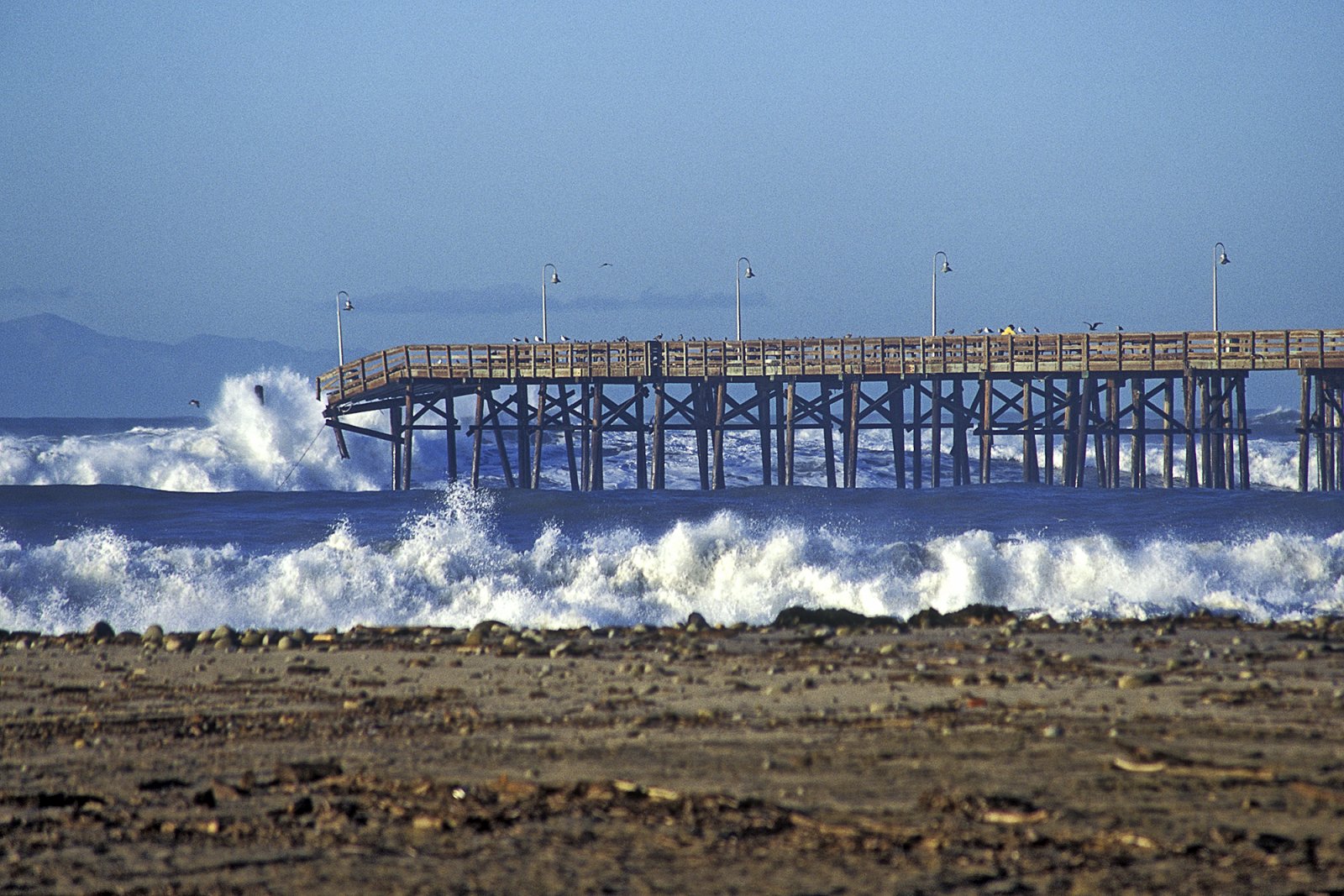
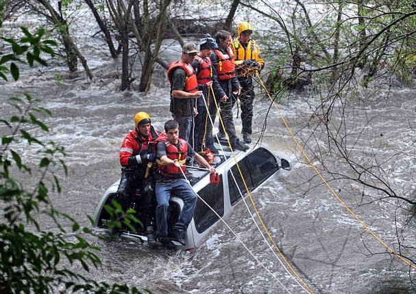
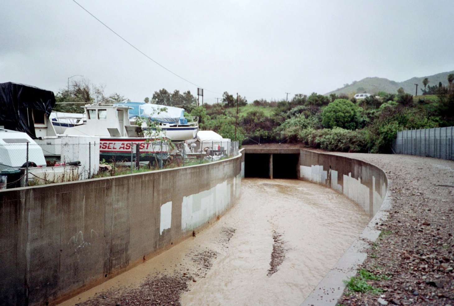
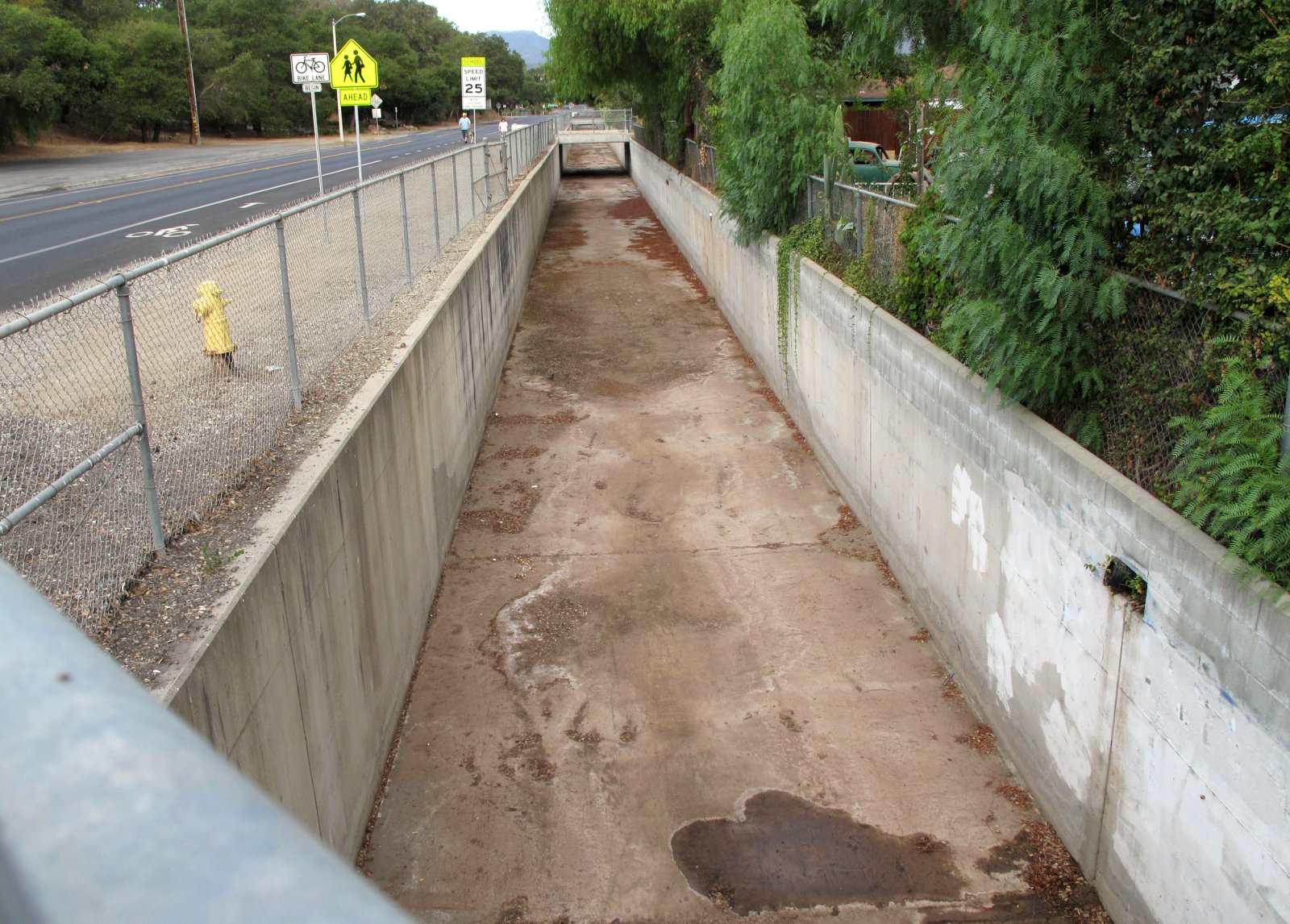
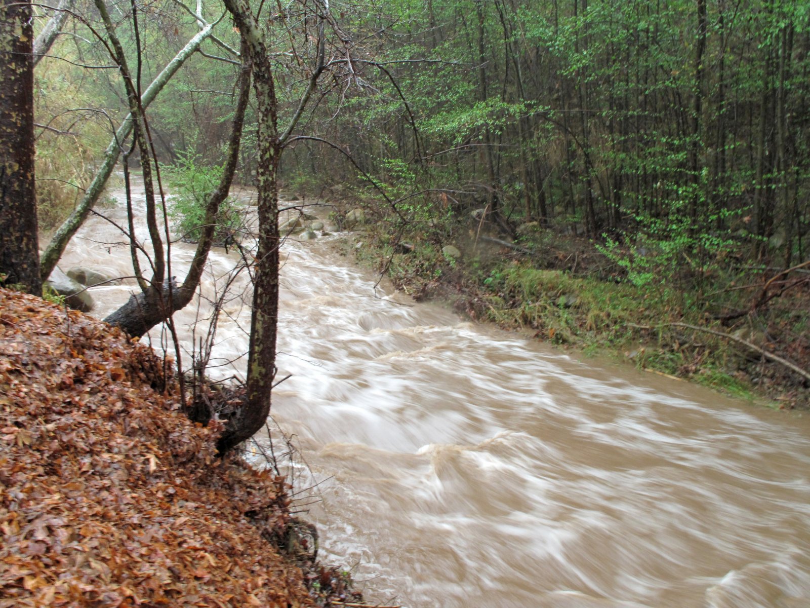
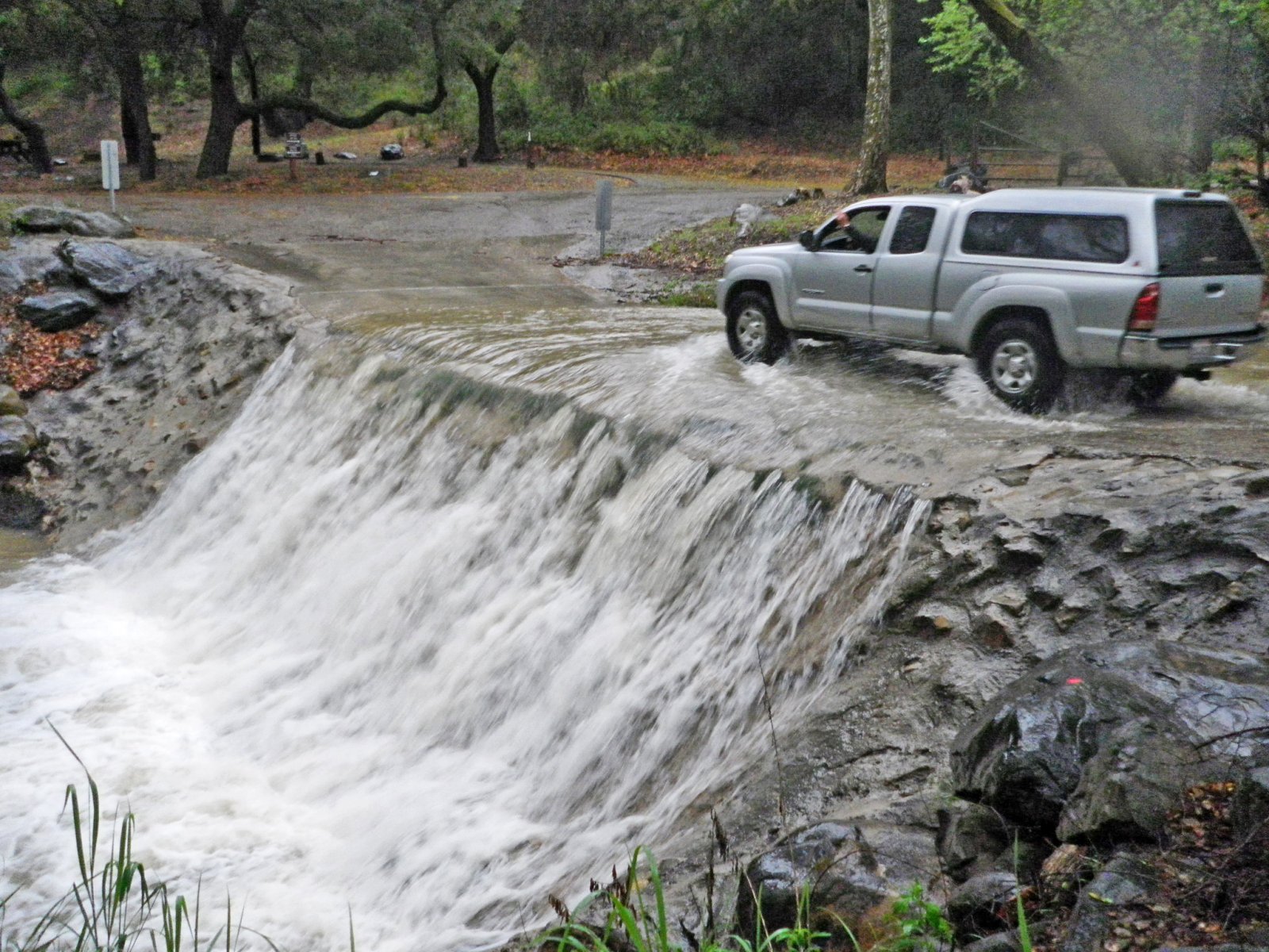
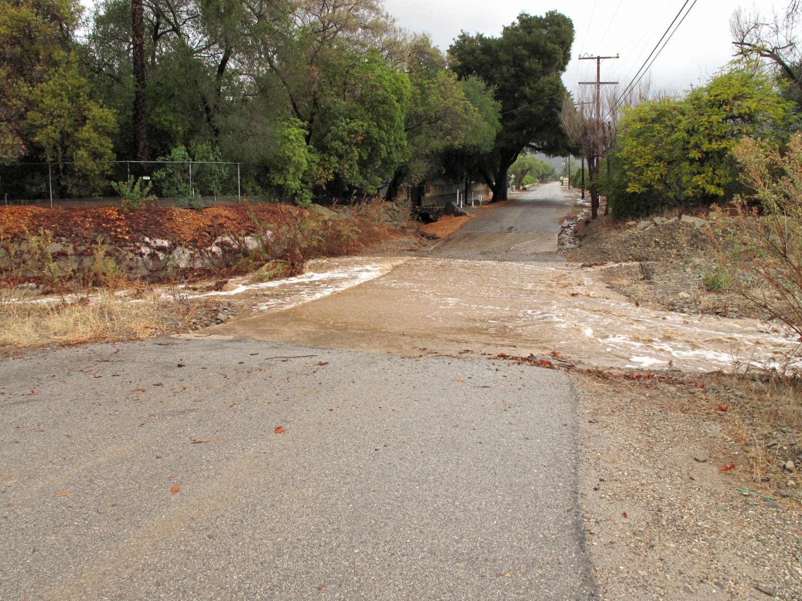
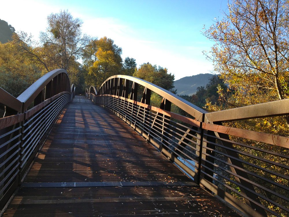
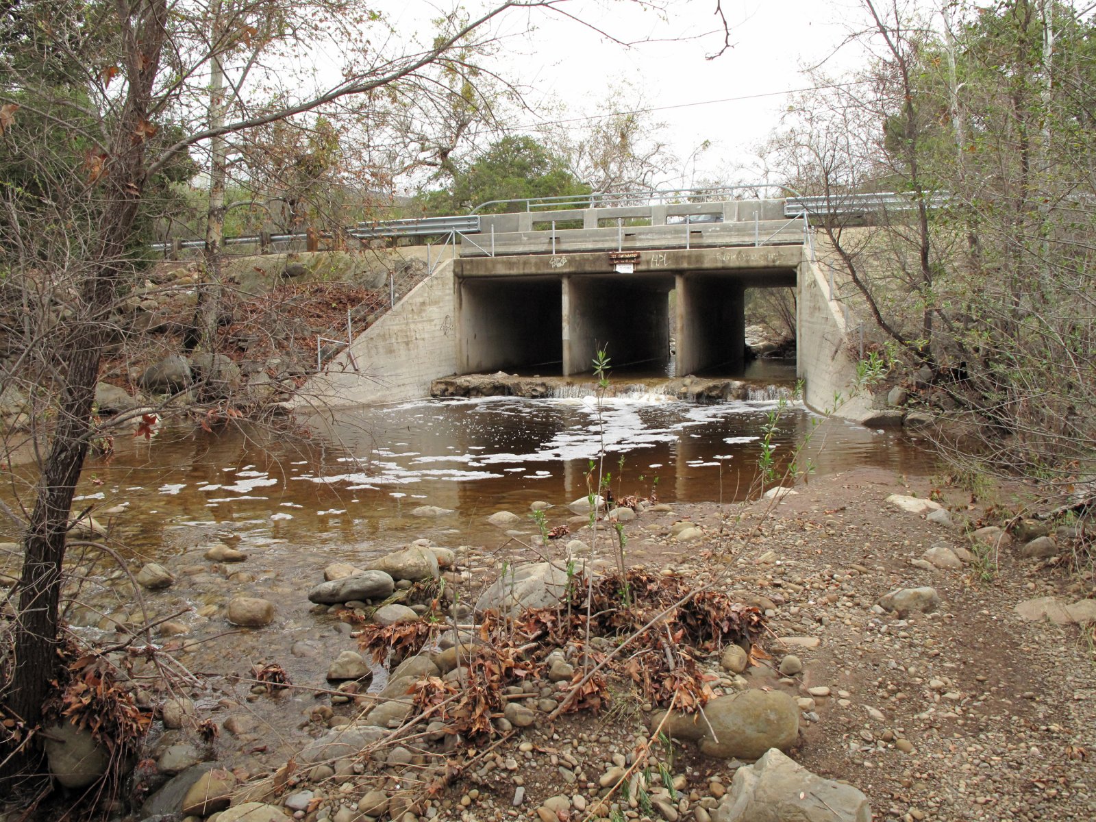
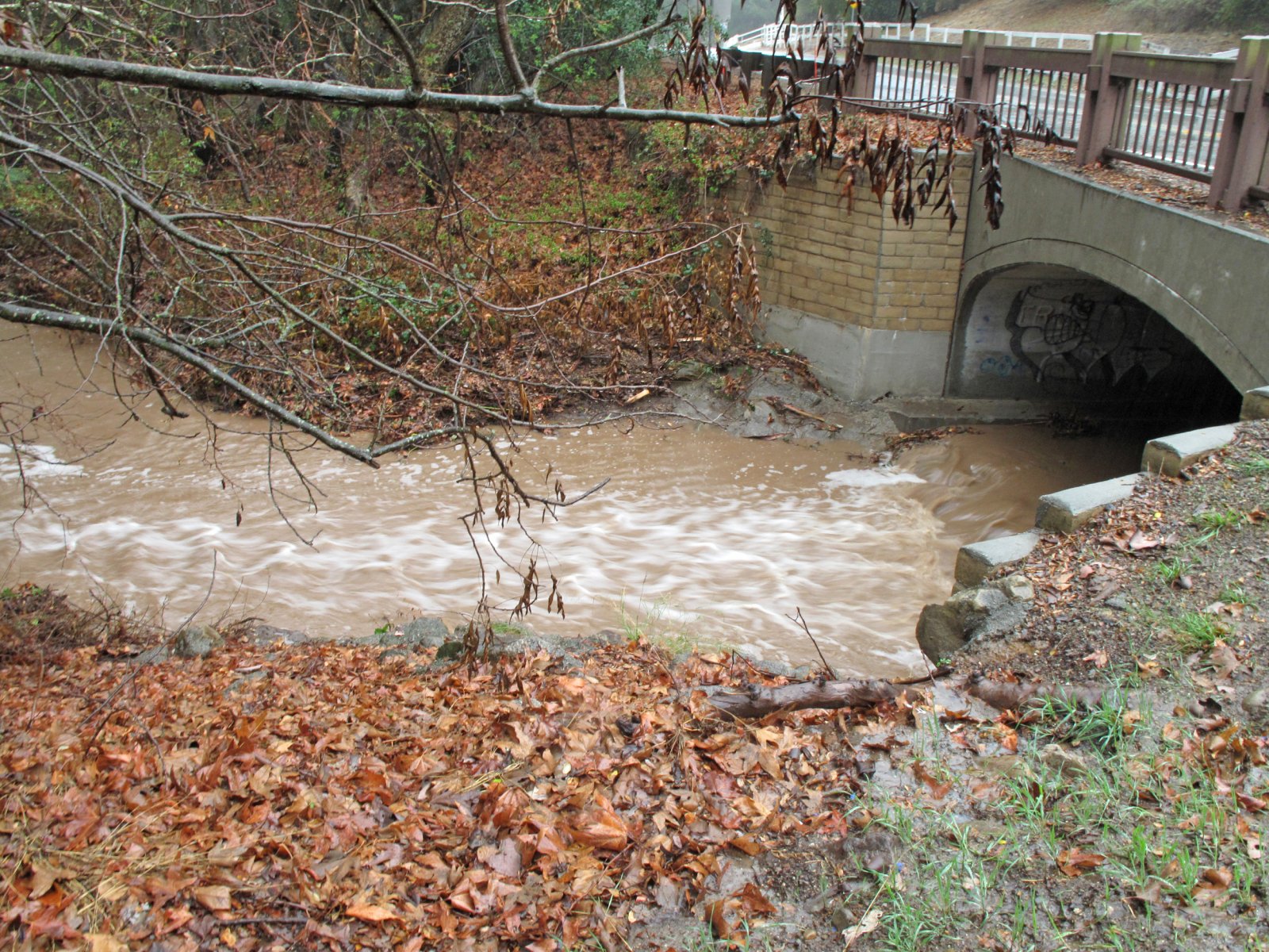
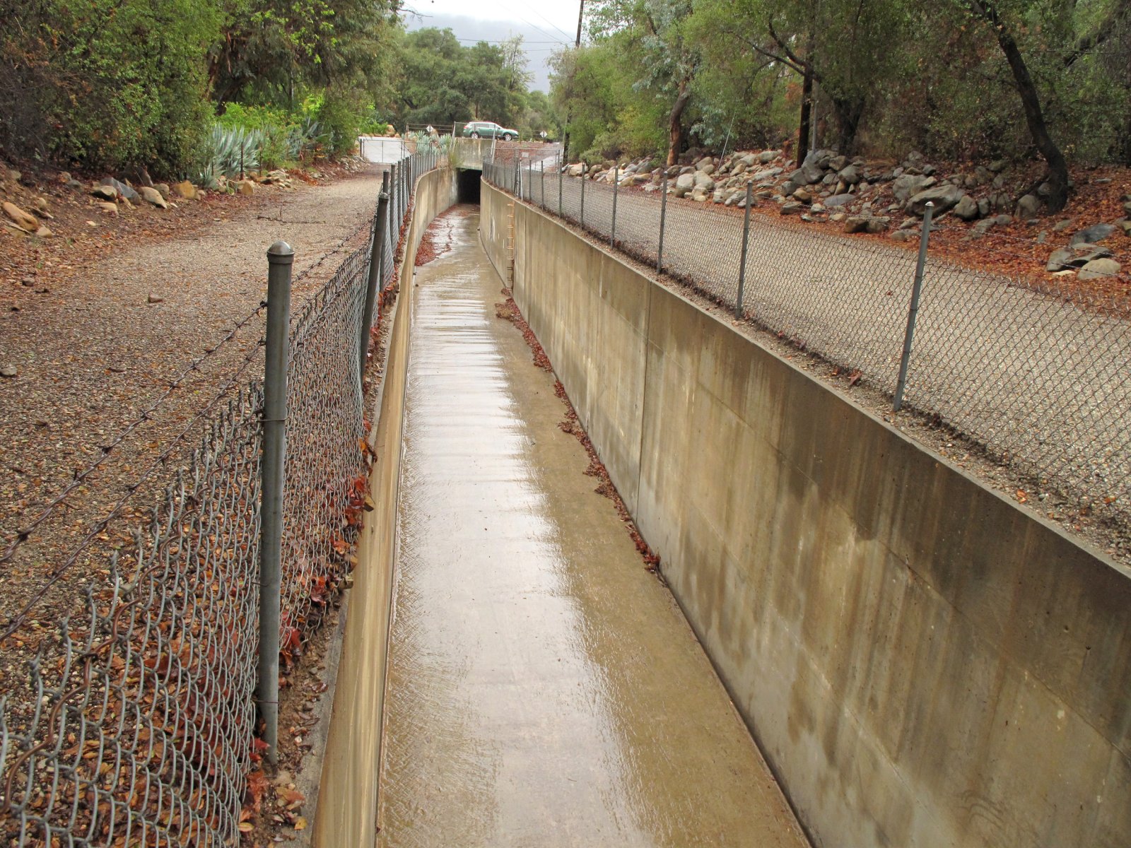
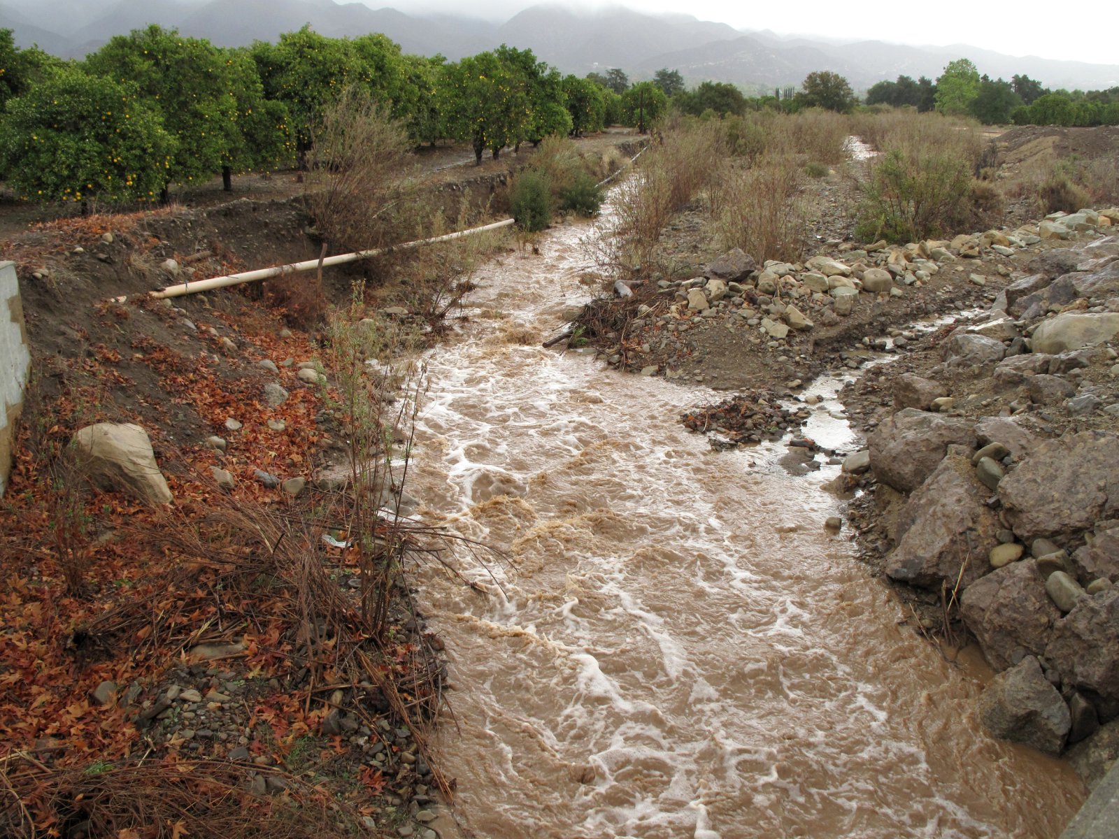
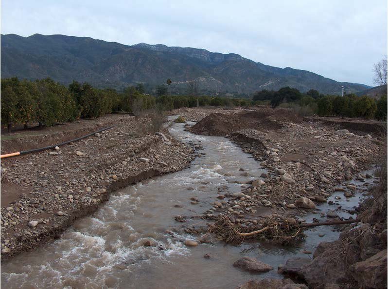
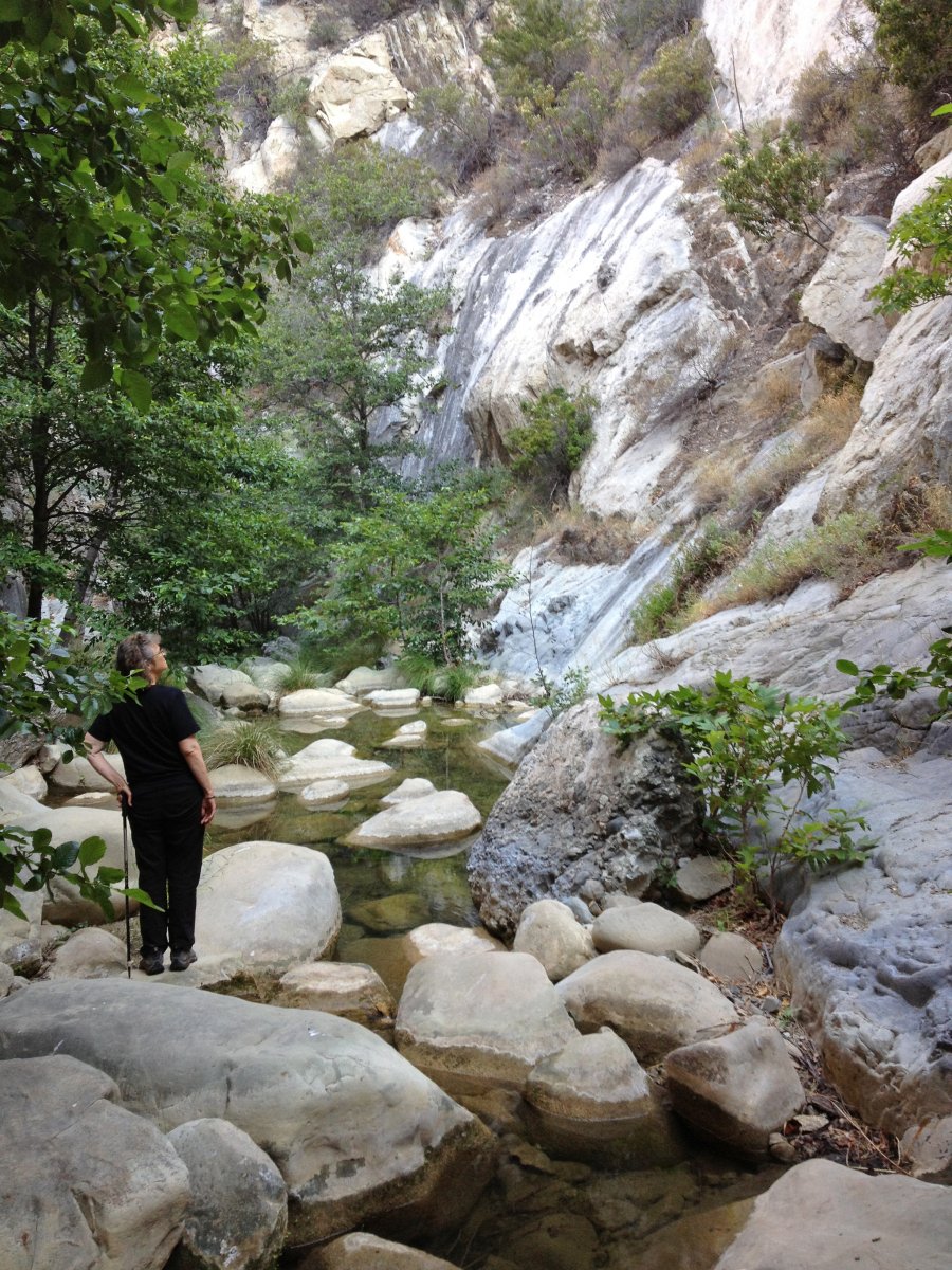
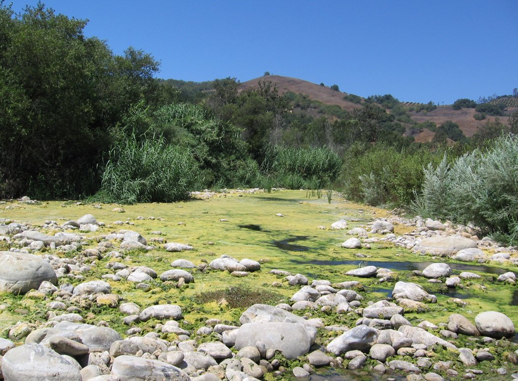
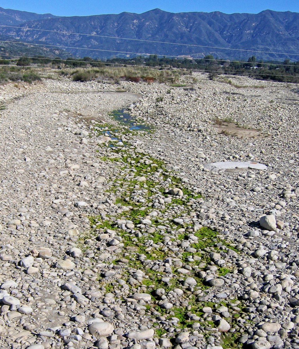
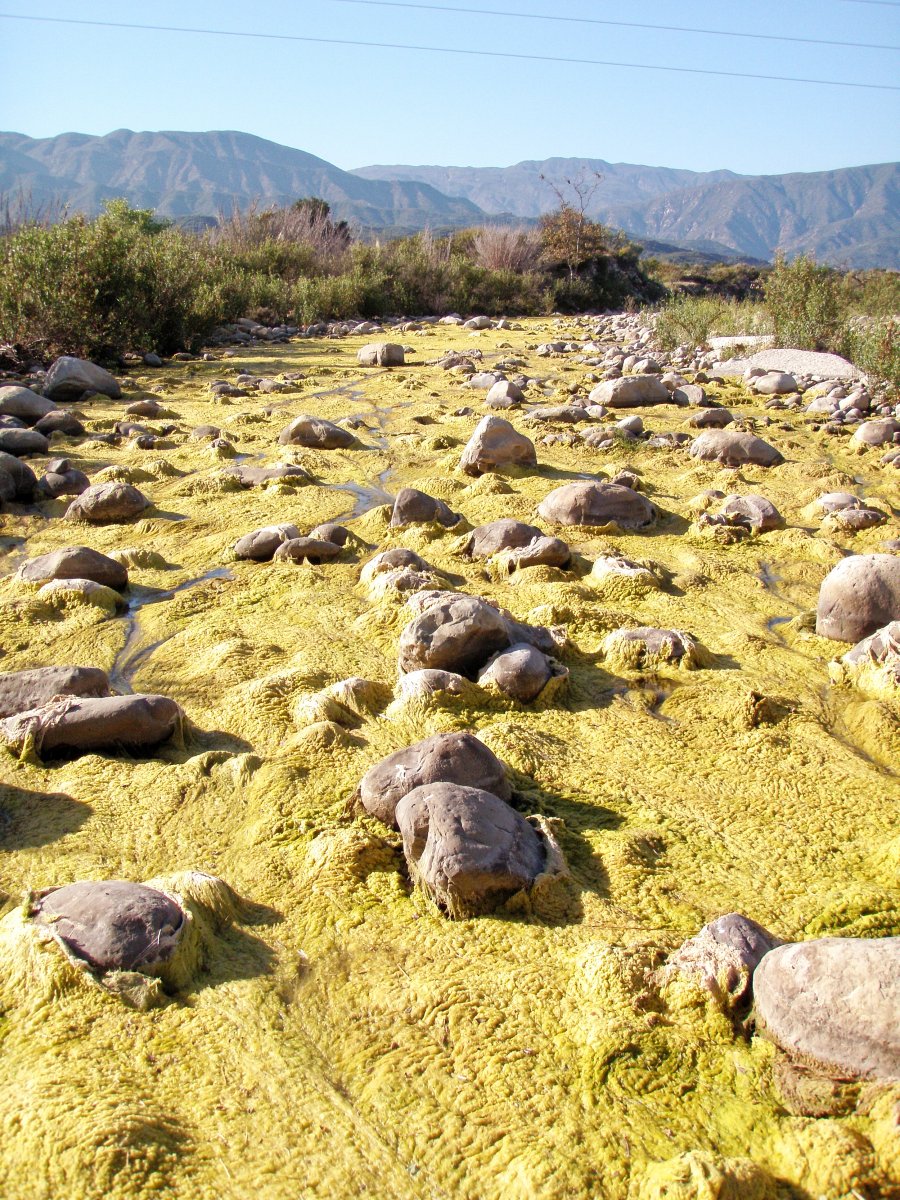
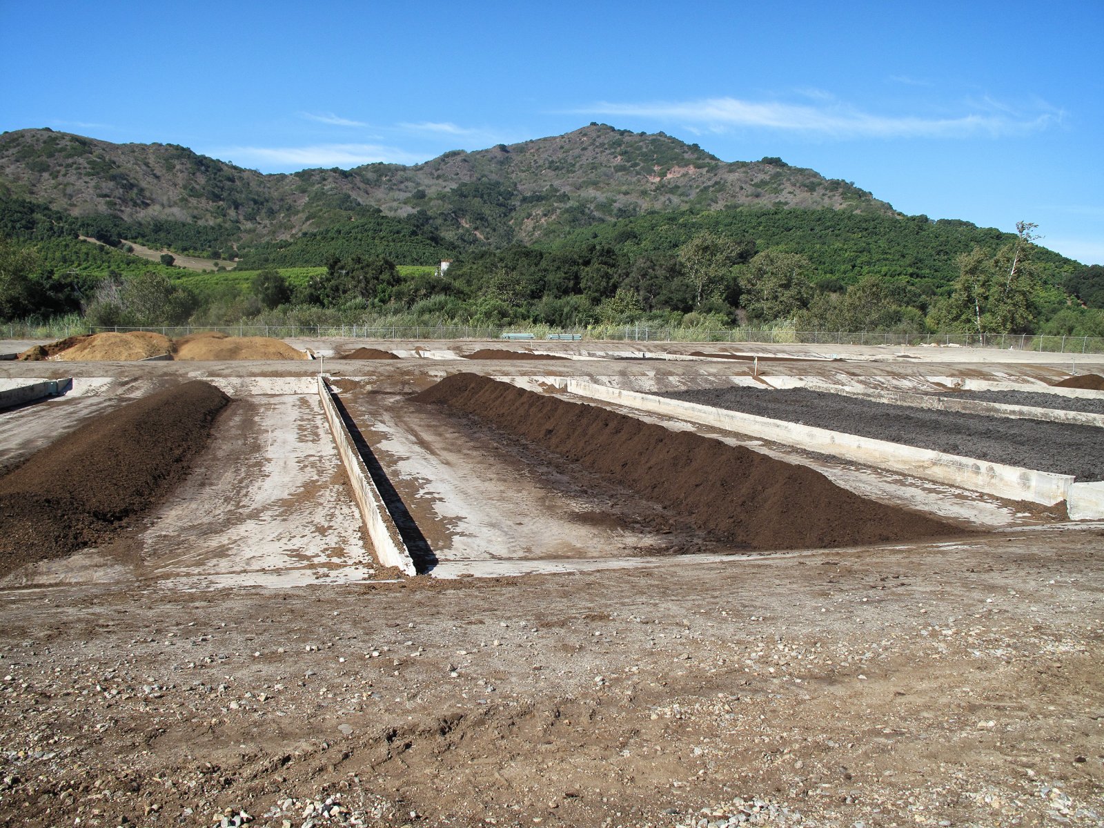
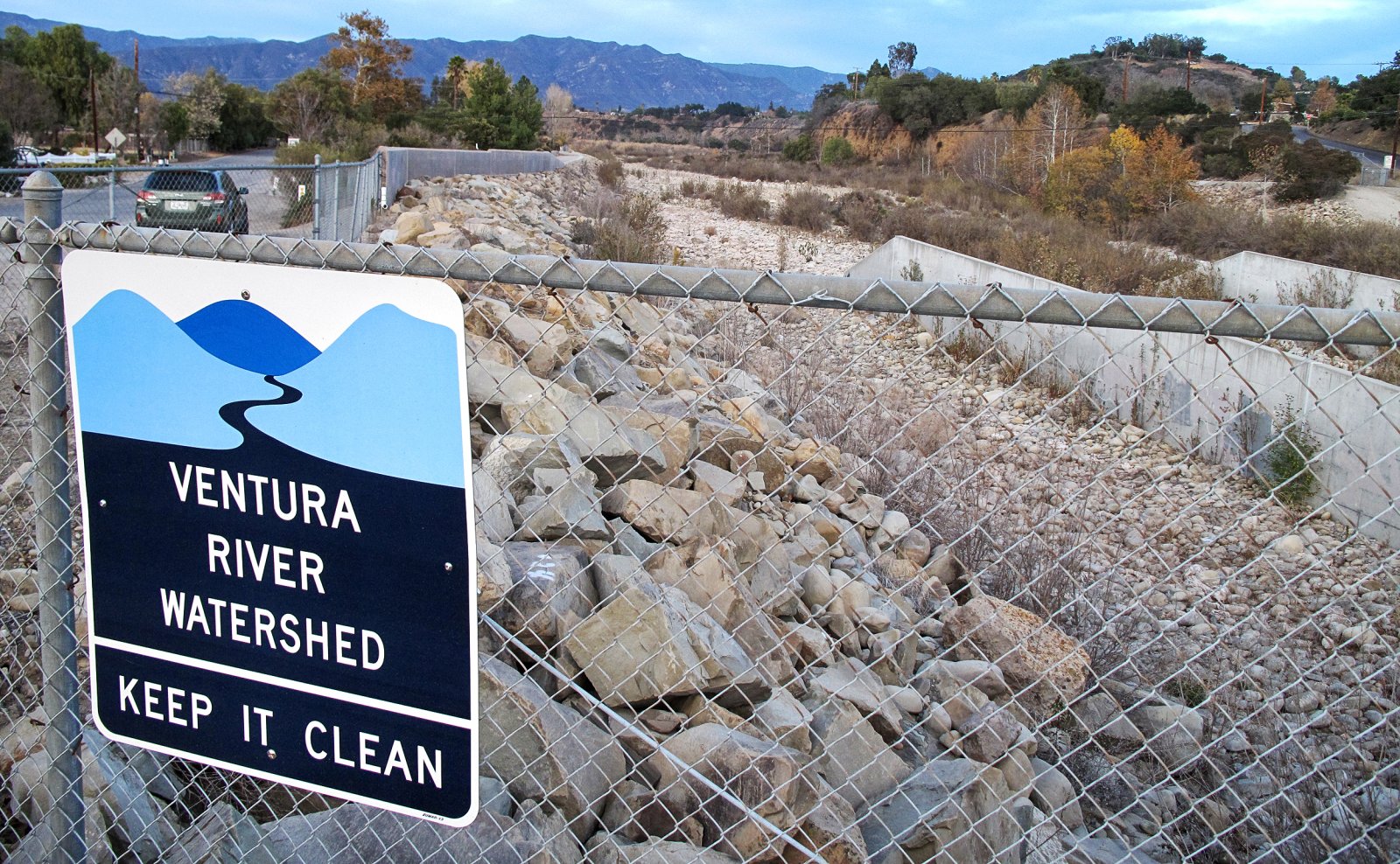
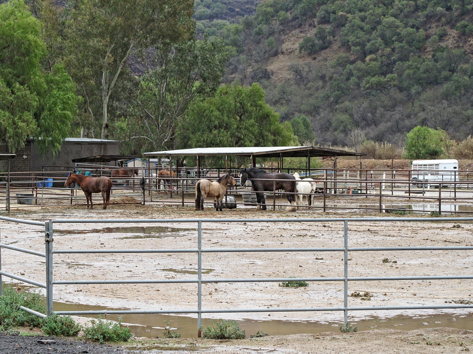
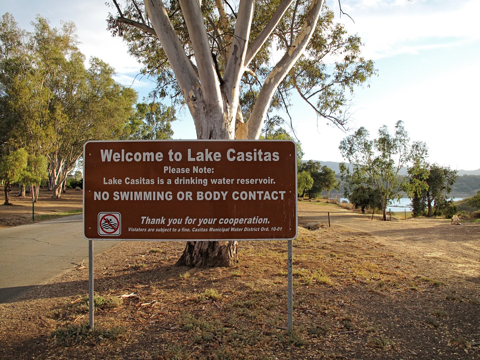
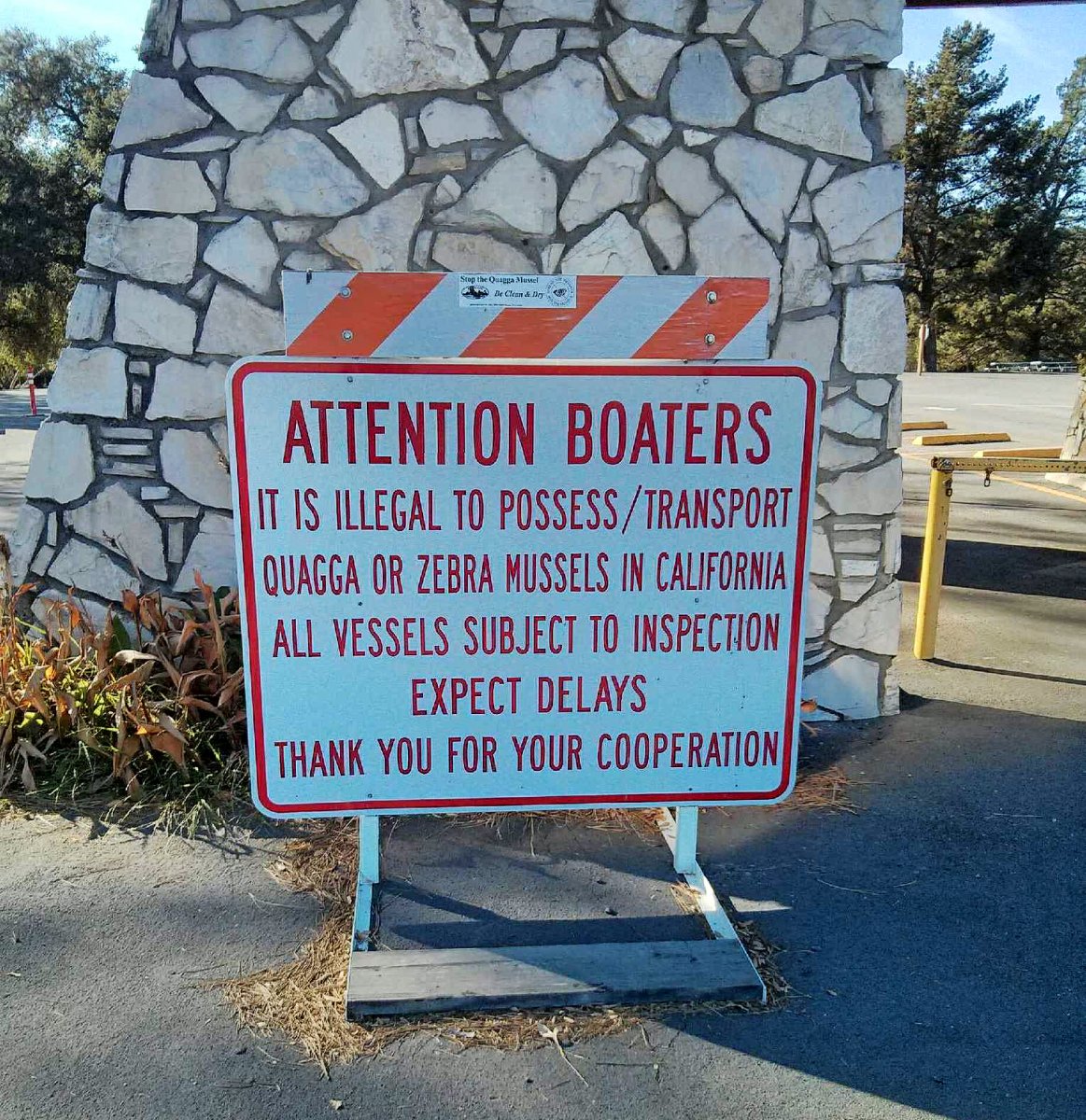
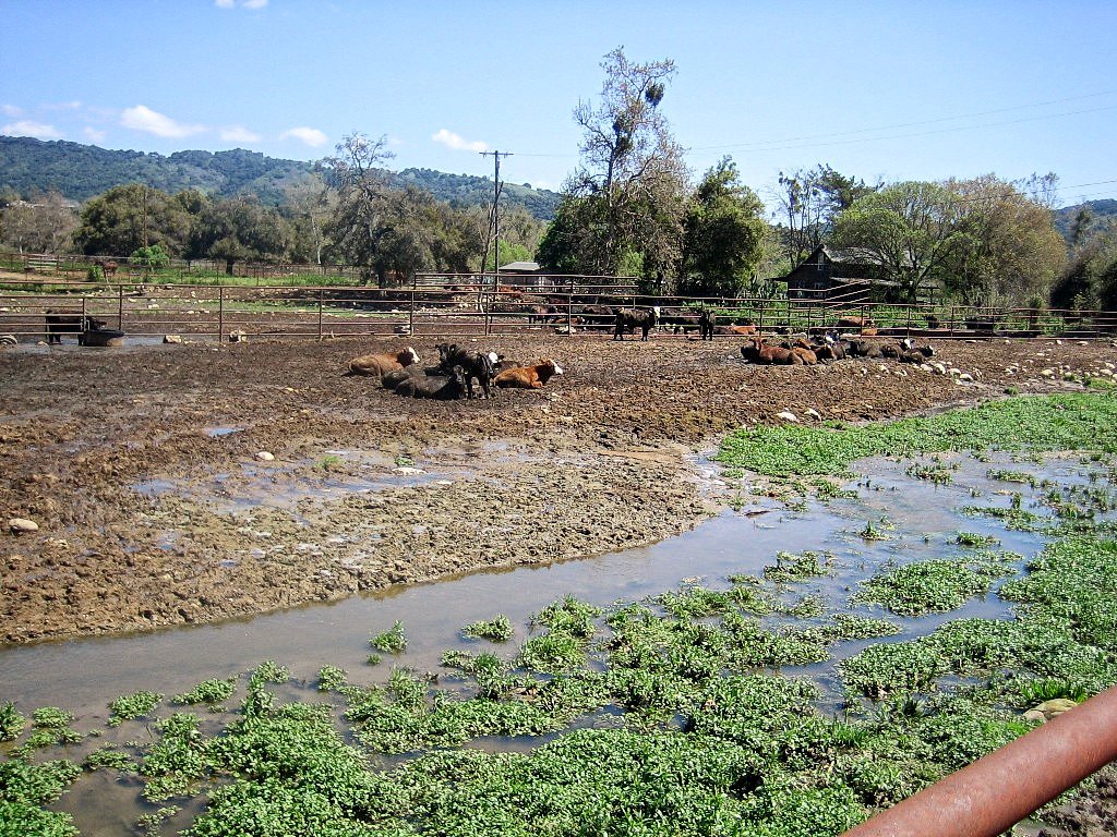
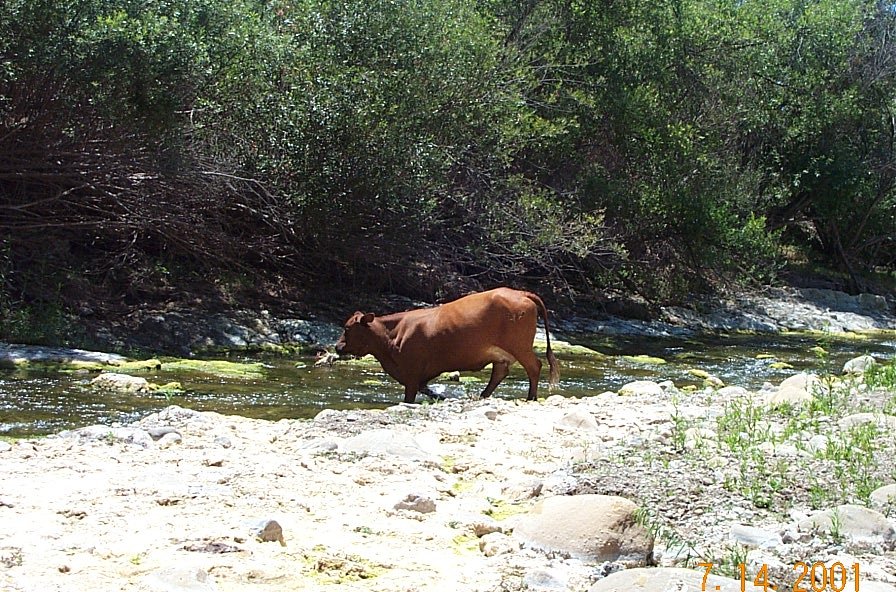
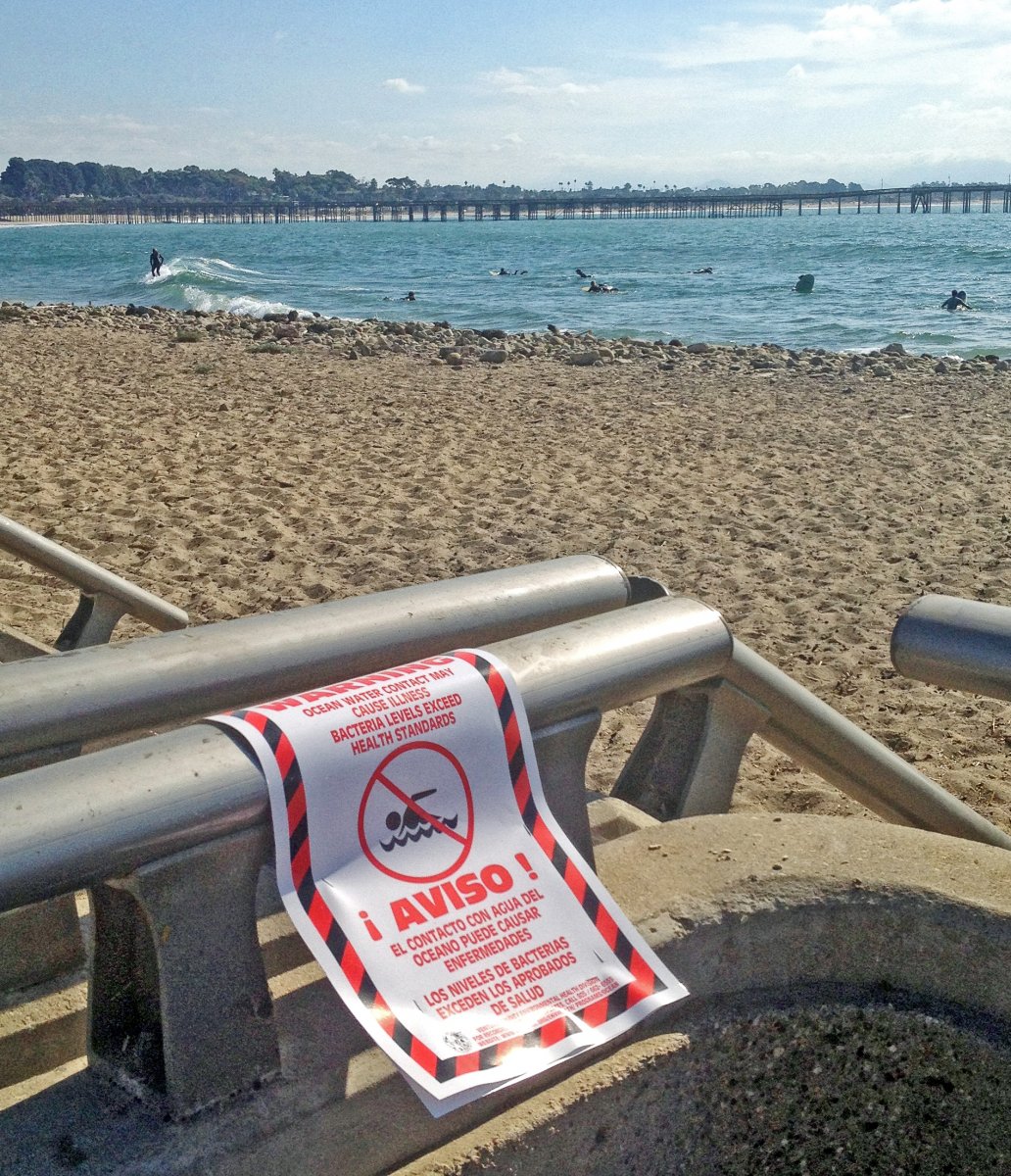
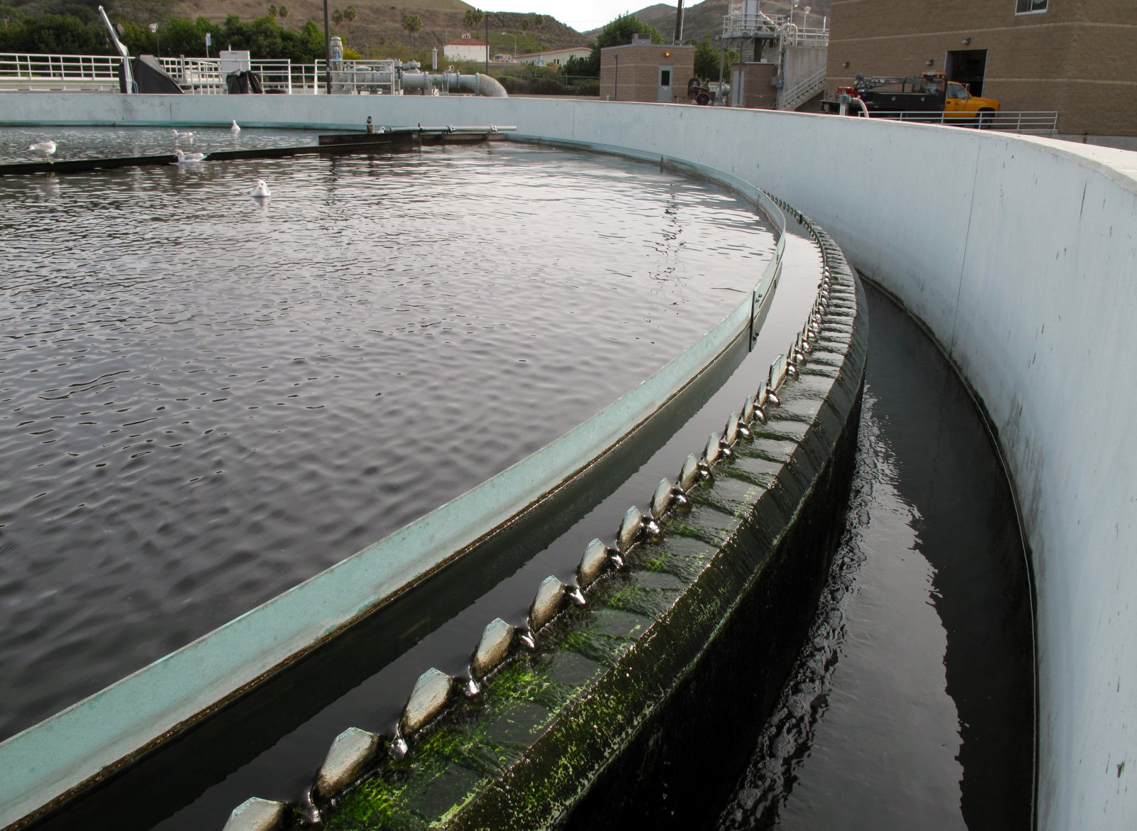
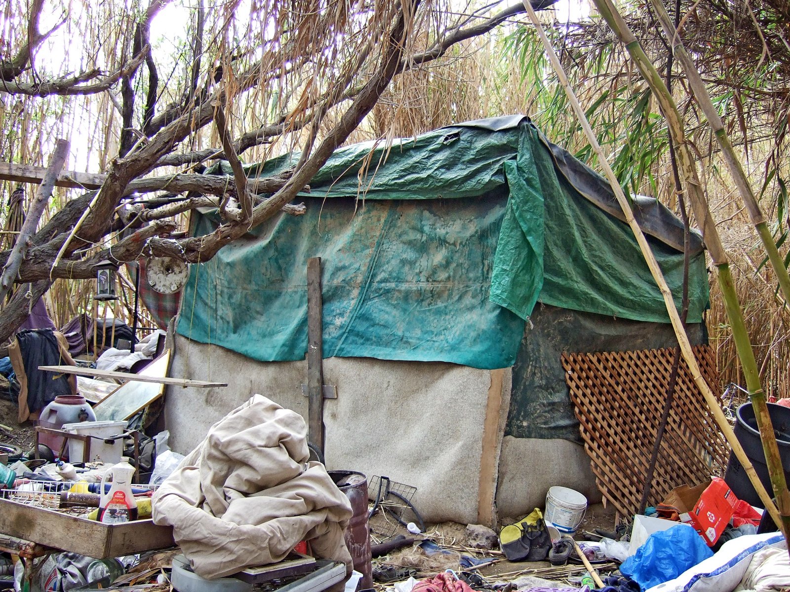
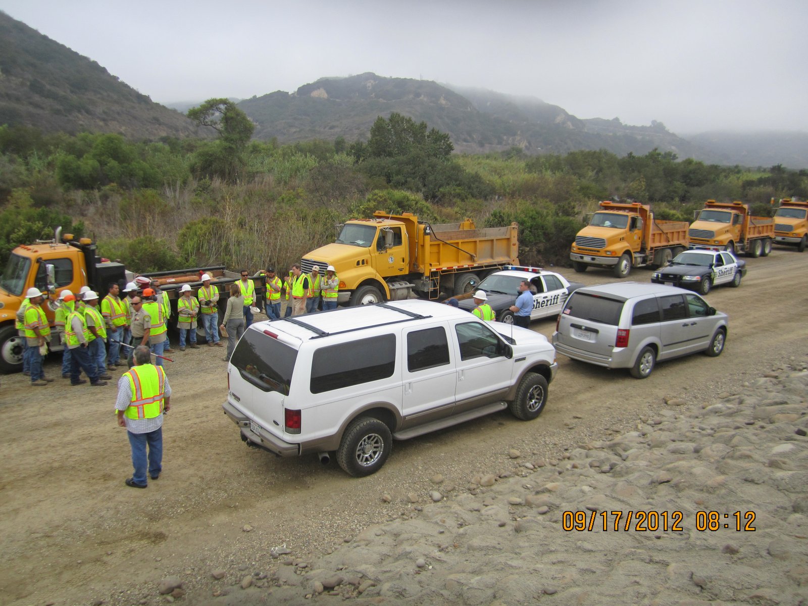
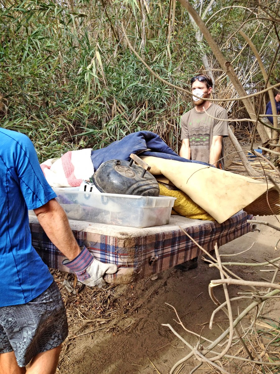
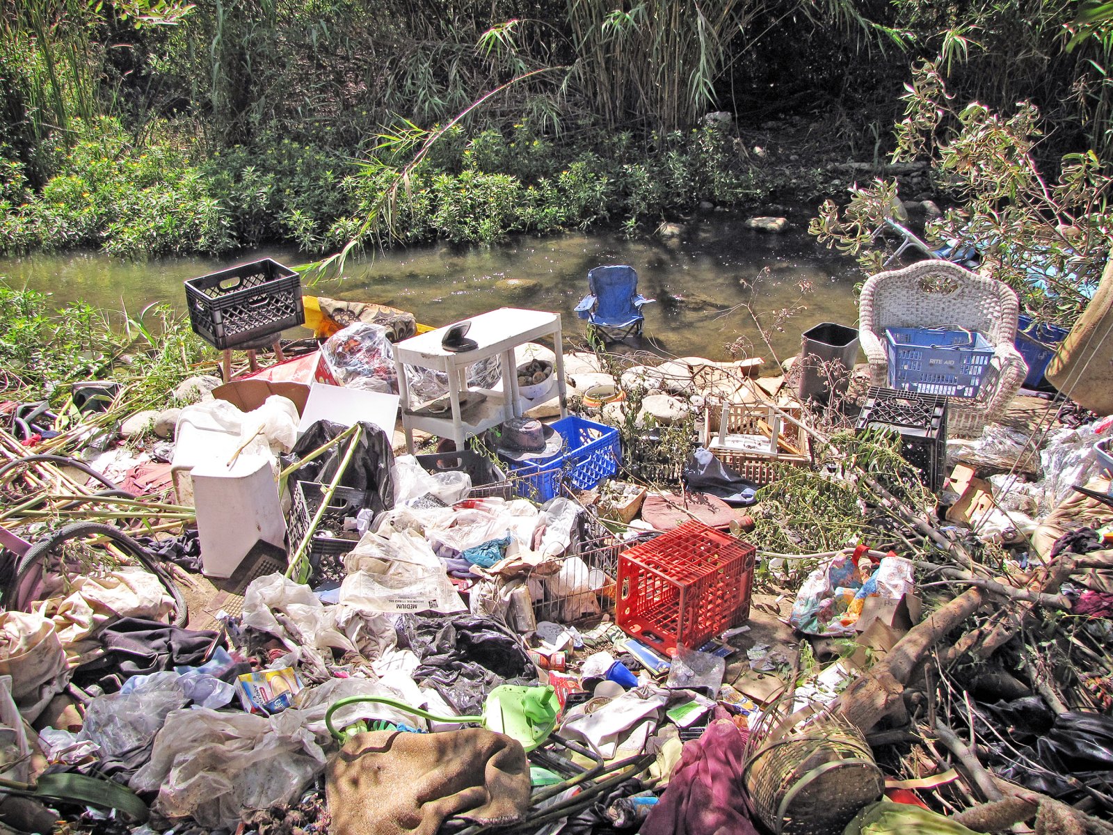
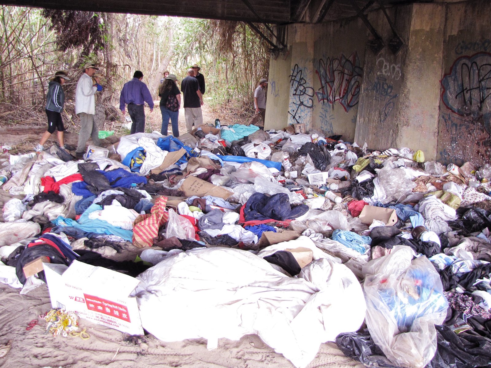
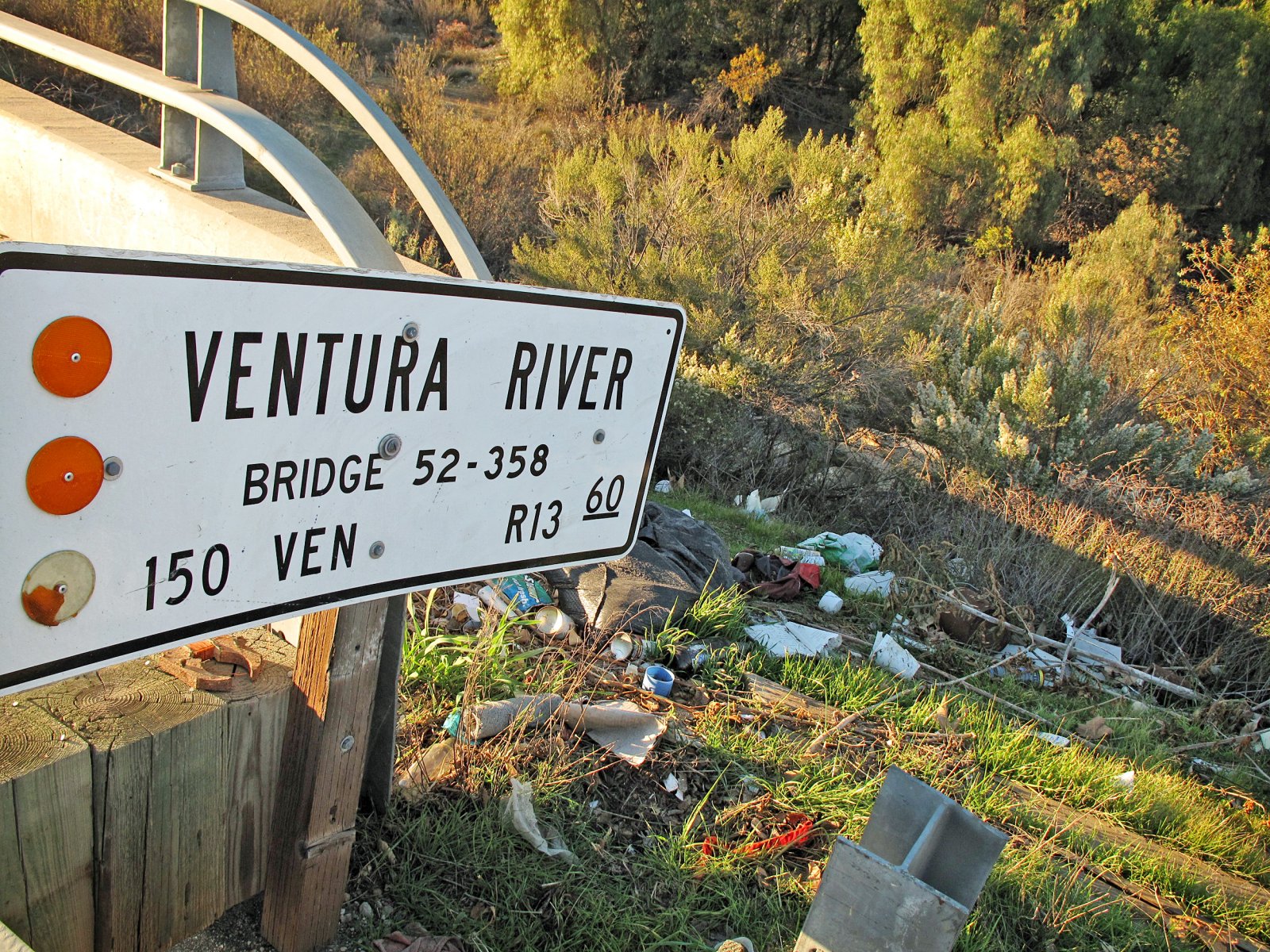
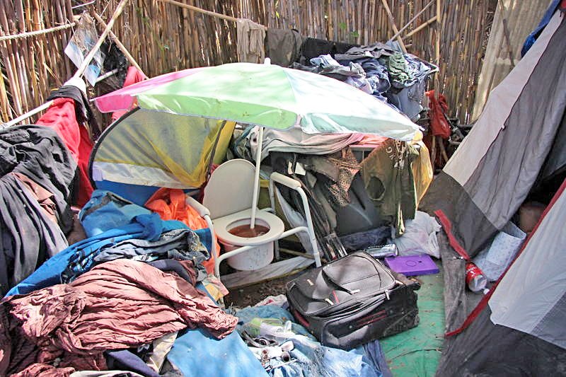
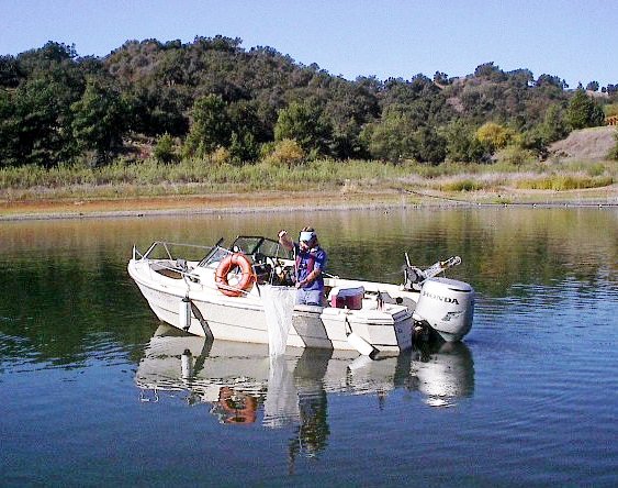
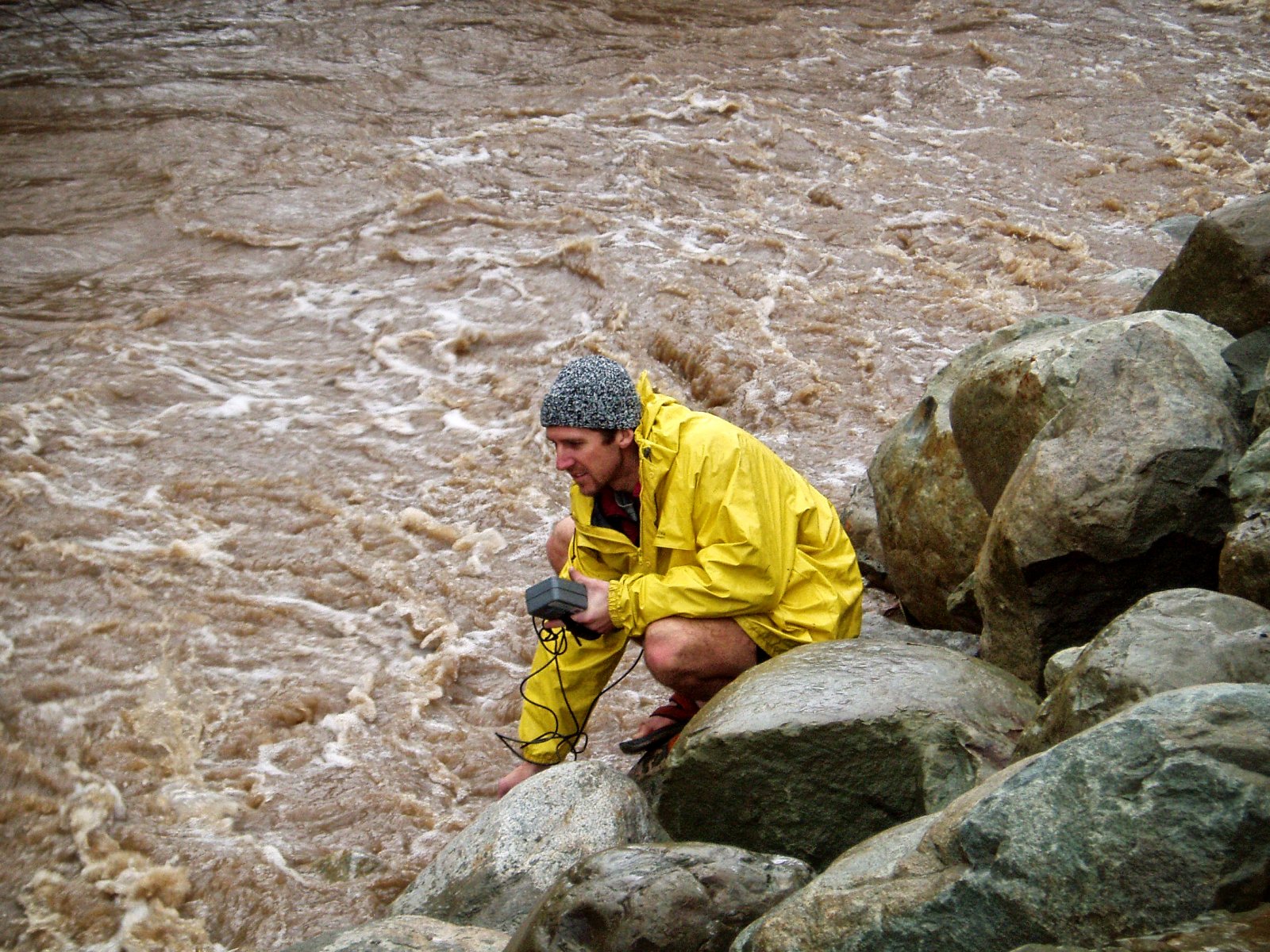
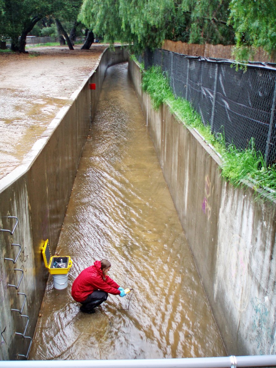
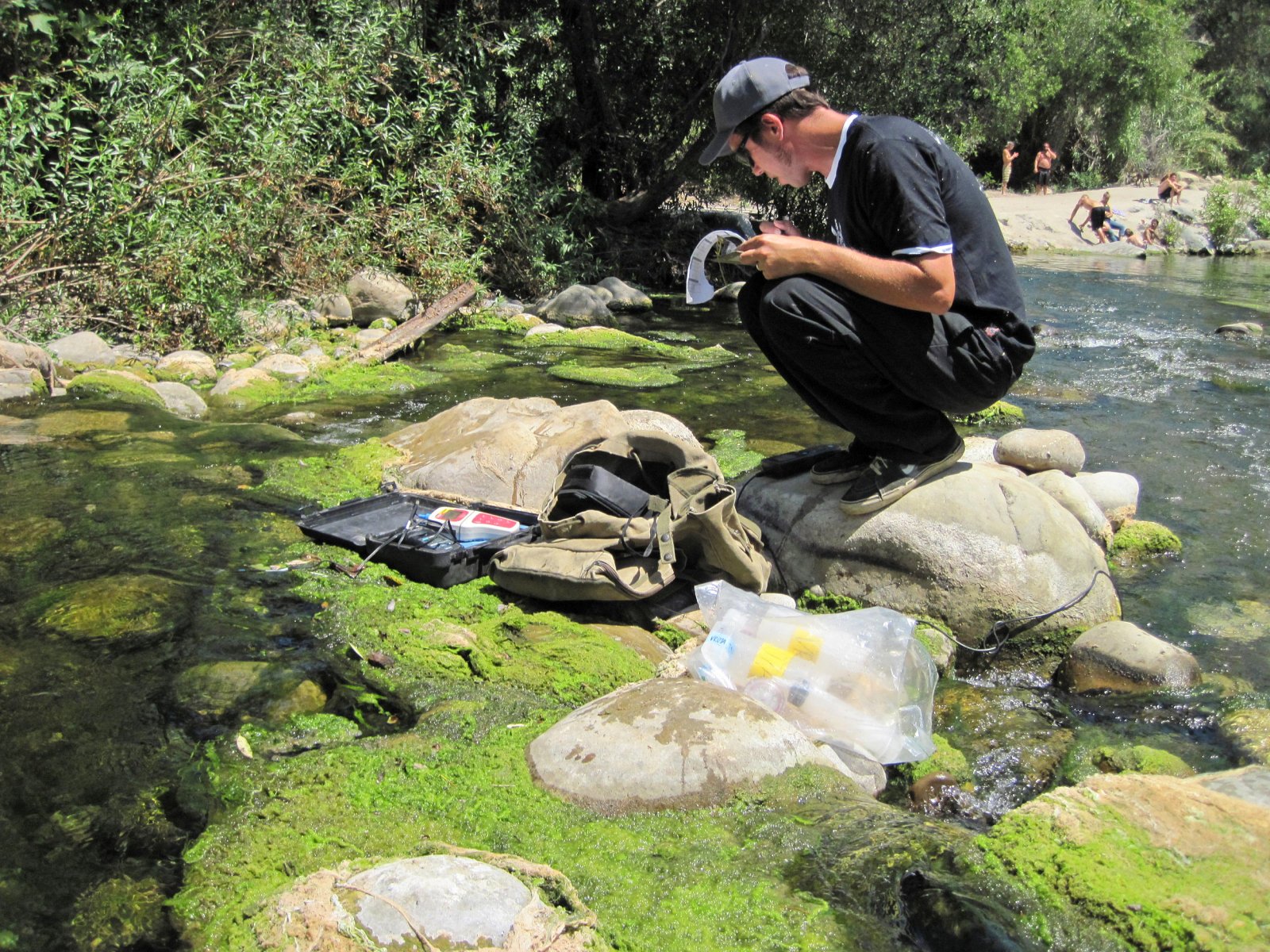
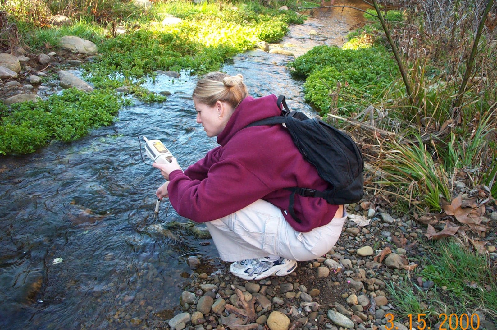
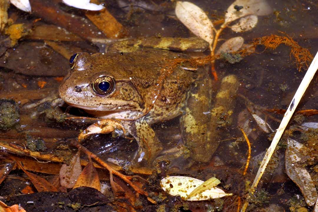
Images tagged "ventura-river-watershed"

Bear Print Ojai-Lorraine Walter Black Bear Visits Ojai Orchard-Emily Ayala Bullfrog Lion Creek-SB Channelkeeper Calif Condor-Martin Flecher Calif Tree Frog-Chris Brown Calif Tree Frog-Mary Meyer Coast Horned Lizard-Mary Meyer Coast Range Newt in Riverine-So.Coast Habitat Rest Common Yellowthroat-Allen Bertke Great EgretAllen Bertke Green Heron, Lake Casitas-Allen Bertke Grey Fox on Fox Canyon Trail-Bardley Smith Long Tailed Weasel-Martin Flecher Marbled Godwits, Sanderlins, and Egrets Feed-Dave Hubbard Mountain Lion Killed on Highway 33 Foster Park-Kim Stroud Mountain Lion Visits Sulphur Mntn-Fred Rothenberg Mountain Lion-Roger Essick o. mykiss Eggs, North Fork Matilija Crk-Paul Jenkin O.Mykiss mortality from receding flows-OV Land Conservancy Osprey Lake Casitas-Allen Bertke Pelicans, Ventura River Estuary-SB Channelkeeper Post Spawn Adult Steelhead, Casita Springs-Mark Allen Red-Legged Frog Egg Mass in Riverine-Chris Lima Southwestern-Pond-Turtle-Hatchlings-SoCoast-Habitat-Rest.JPG Steelhead SAC-Scott Lewis Steelhead Snorkel Survey Casitas-Lisa Brenneis Two-Striped Gartersnake in Riverine-SoCoast Habitat Rest White-Faced Ibis, Lake Casitas-Allen Bertke Wood Duck, Lake Casitas-Allen Bertke xGrebe Pied-billed eating-Allen Bertke Bridge to Nowhere-VCStar Car Buried by Mud Debris Bodees-VCStar Casitas Springs, 2005 Flood-VCWPD Downtown Ojai Before Stewart Canyon Debris Basin-VCStar East Ojai Avenue, 1969 Flood-VCStar Highway 33 Destroyed at North Fork Matilija Creek, 1969-VCStar Live Oak Acres, 1969 Flood-VCStar Live Oak Levee Protects Live Oak Acres-Rick Wilborn Ojai Meadow Preserve Flood Management Restoration-Rick Wilborn Rancho Trailer Park, Casitas Springs, 1969 Flood-VCStar San Antonio Creek Ranch, 1969 Flood-VCStar San Antonio Creek, 2005 Flood-Paul Jenkin Soule Park Golf Course, 2005 Flood-VCWPD Stewart_Canyon Debris Basin-Lisa Brenneis Surfers Point erosion December 1996 Surfer's Point Wave Run-Up, 1995-Paul Jenkin Thacher Creek Siete Robles Neighborhodd, 2005 Flood-WPD Ventura Pier breaking during a strom in January 1996. Ventura River Rescue, 1992 Flood-VCStar Channelized Canada Larga-SB Channelkeeper Happy Valley Drain, Meiners Oaks-Lorraine Walter Lower San Antonio Creek, Camp Comfort-Lorraine Walter Lower Wheeler Campground Crossing-Mark Allen Matilija Creek-Lorraine Walter Reeves Creek at McNell Road-Lorraine Walter San Antonio Creek Bridge-Lorraine Walter Santa Ana Creek Entering Lake Casitas Rec Area-Lorraine Walter Stewart Canyon Crk Flowing into San Antonio Crk Below Ojai-Lorraine Walter Stewart Canyon Crk Going Underground Above Ojai-Lorraine Walter Thacher Creek at Highway 150-Lorraine Walter Thacher Creek flowing-VCWPD Wheeler Gorge, North Fork Matilija Creek-Lorraine Walter Algae (cladophora) in Ventura River-SB Channelkeeper Algae Growth-Jeff Palmer Algae Growth-SB Channelkeeper Biosolids Compost OV San Dist-Lorraine Walter Biosolids OV San Dist-Lorraine Walter Ed Sign Ventura Countywide Stormwater-Lorraine Walter Horses Lake Casitas Sign no swim-Lorraine Walter Lake Casitas Sign Quagga Zebra Mussels-Lorraine Walter Livestock in Drainage-SB Channelkeeper Livestock, San Antonio Creek-SB Channelkeeper Ocean water quality warning-Ann Rosecrance OV Sanitary-Lorraine Walter River Bottom Camp 2012-Chris Sulzman River Bottom Camp Cleanup 2012-3-VCWPD River Bottom Camp Cleanup 2012-VHC River Bottom Camp Trash-VHC Trash Collected Lwr Ventura Riv-VCWPD Trash Ventura River-Lorraine Walter Trash Ventura River-SB Channelkeeper Water Qlty Monitoring Lake Casitas-CMWD Water-Qlty-Monitoring-SB-Channelkeeper Water-Qlty-Monitoring-SB-Channelkeeper Water Qual Mntring-SB Channelkeeper Water qual test_SB Channelkeeper RedLegFrogChrisBrownweb
[Show picture list]
Ventura River Watershed Council

Ventura River Watershed Council

All rights reserved